| Document ID   | Original title | Year  | Year range | Transliteration |
|---|
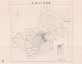
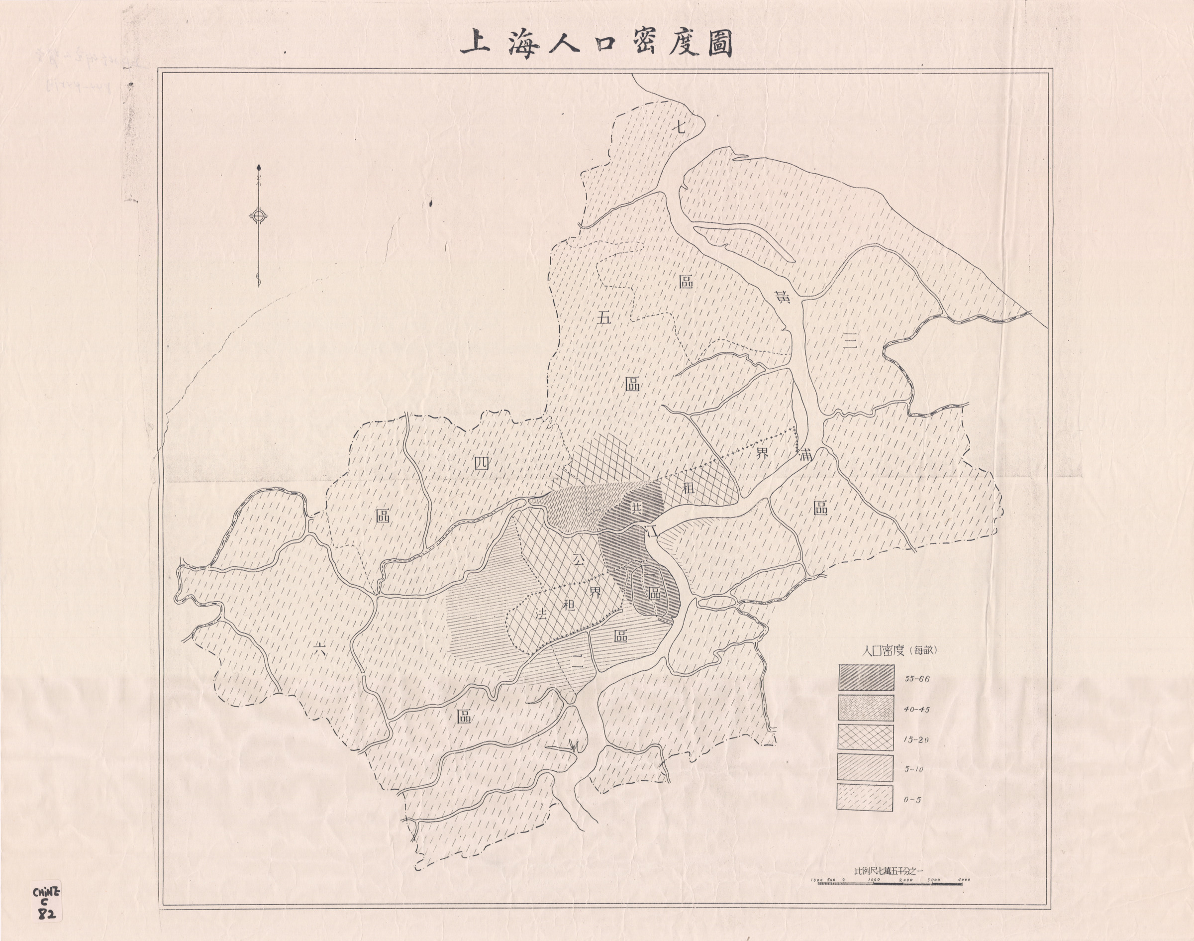
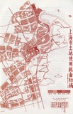
| 45 | 上海人口密度圖 | | | Shanghai renkou midutu |
|
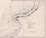
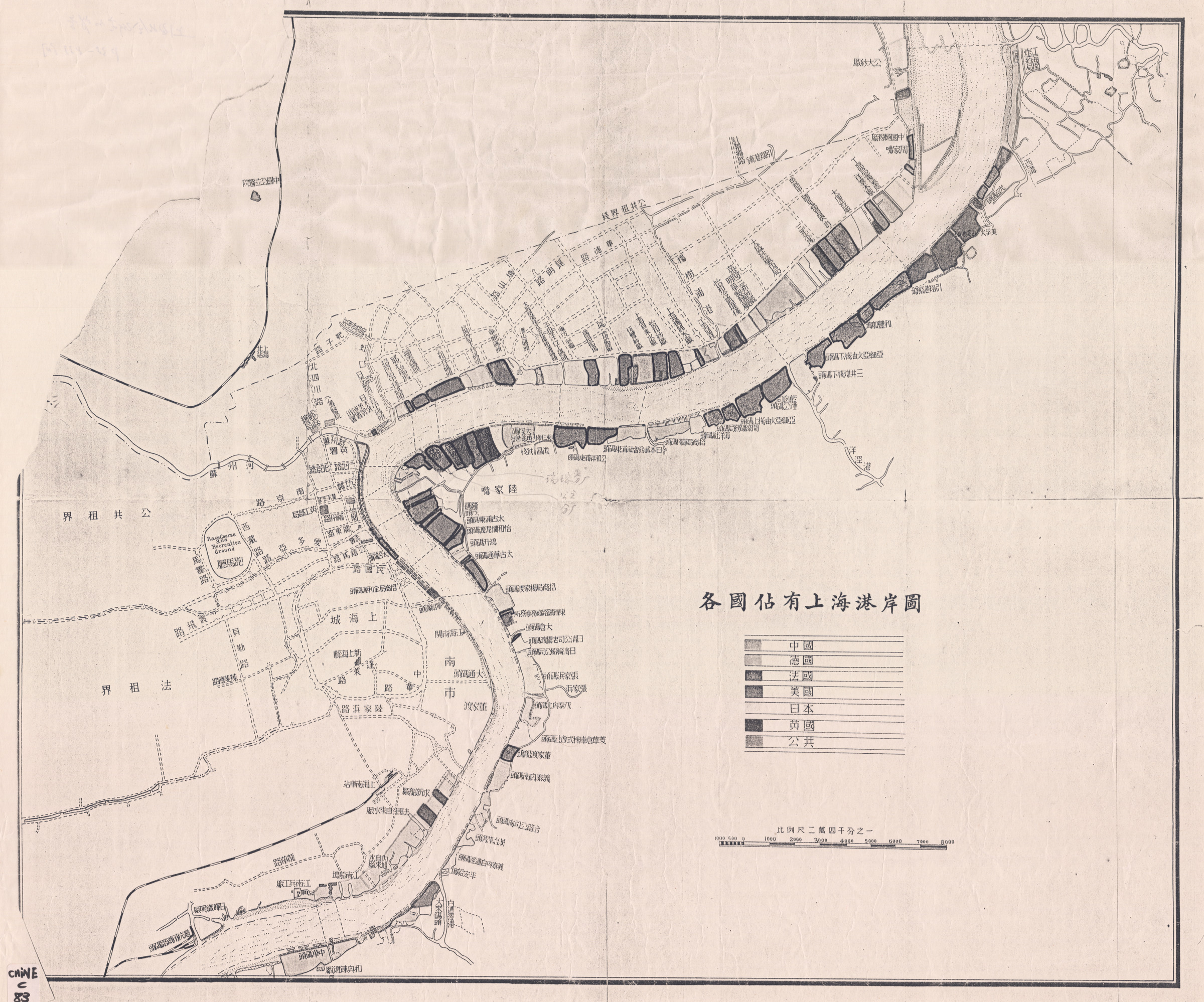
| 46 | 各國佔有上海港岸圖 | | | Ge guo zhan you Shanghai gang'an tu [Port de Shanghai] |
|
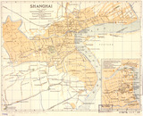
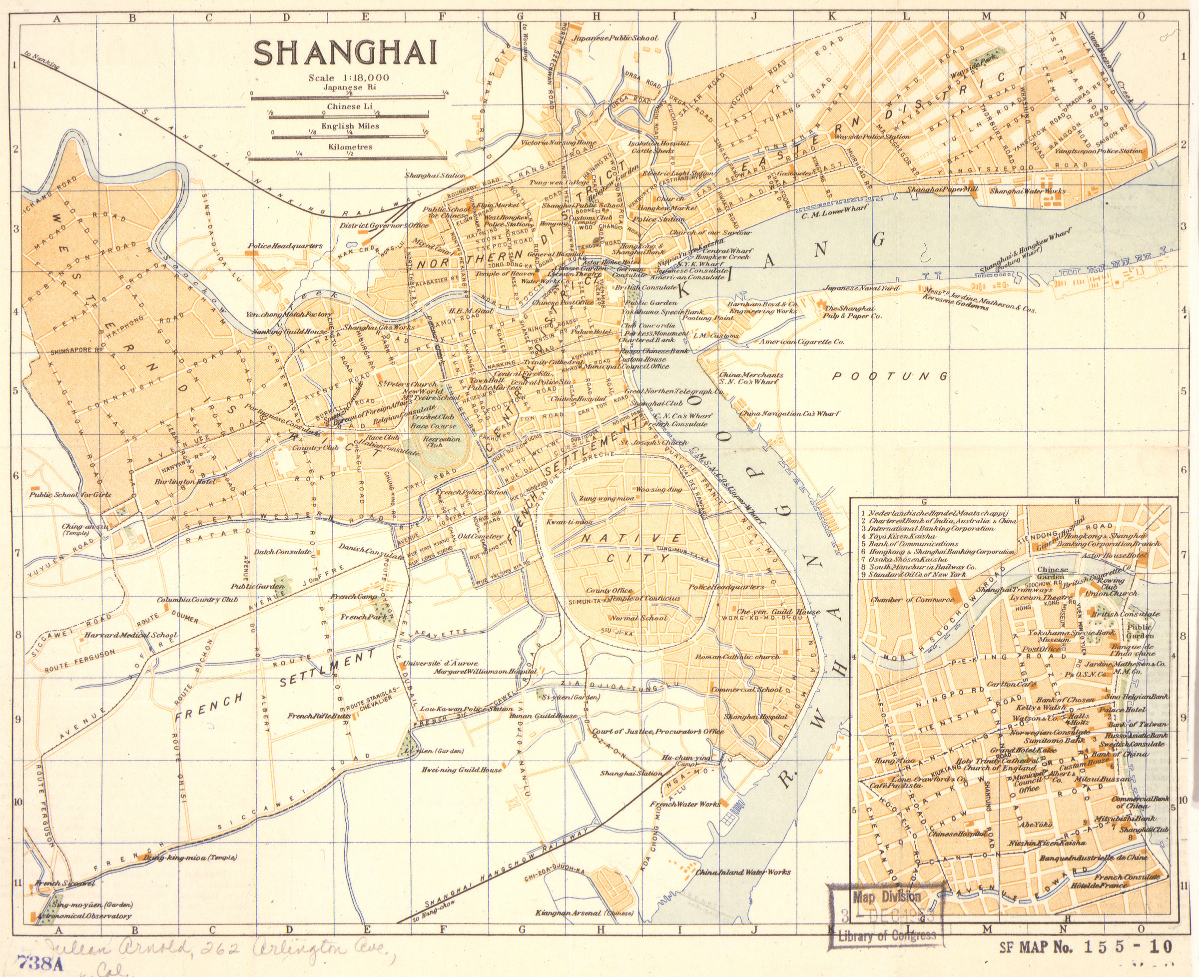
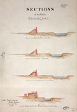
| 124 | Shanghai | | 1904-1914 | |
|
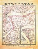
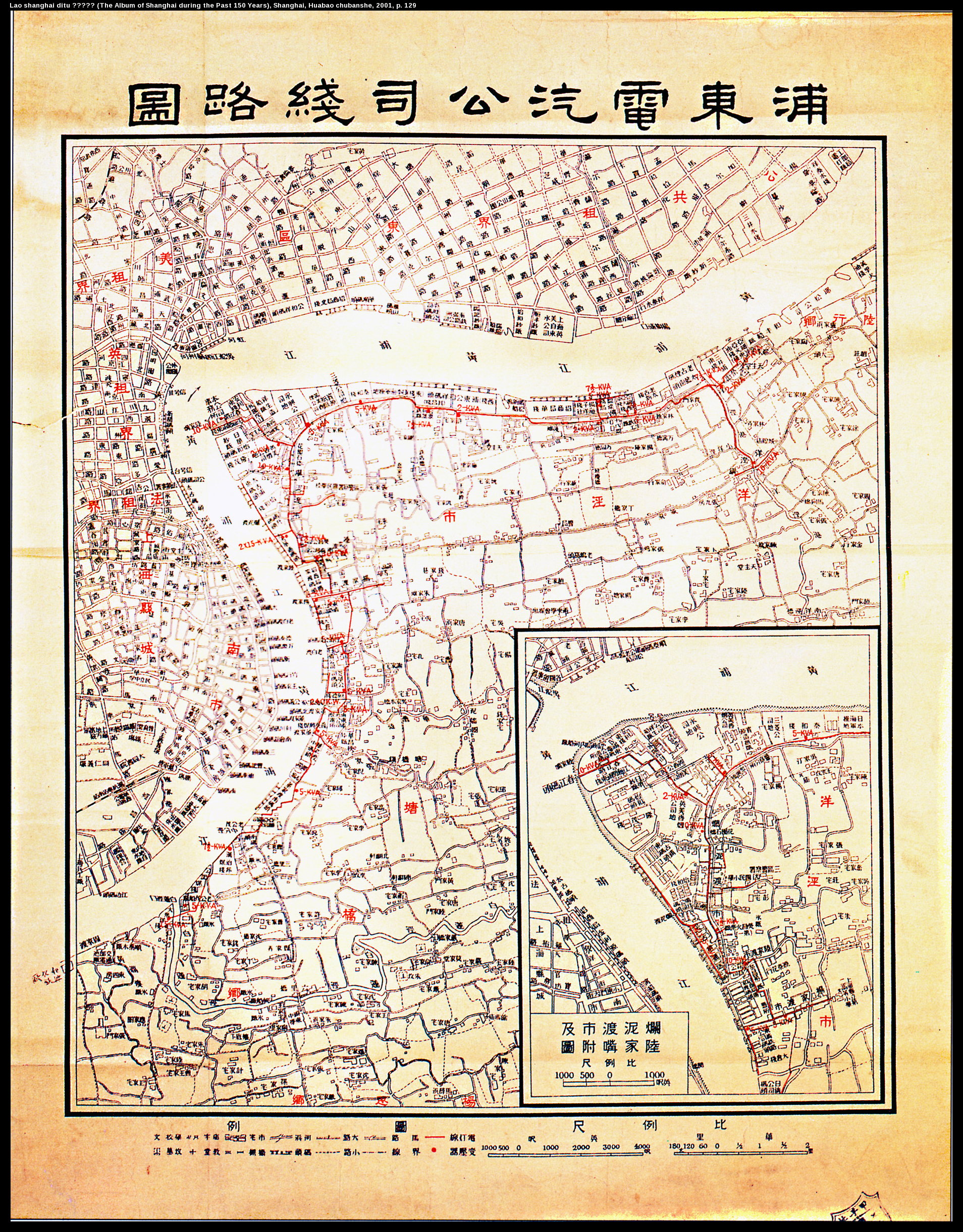
| 168 | 浦東電氣公司線路圖 | | | Pudong dianqi gongsi xianlu tu |
|
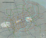
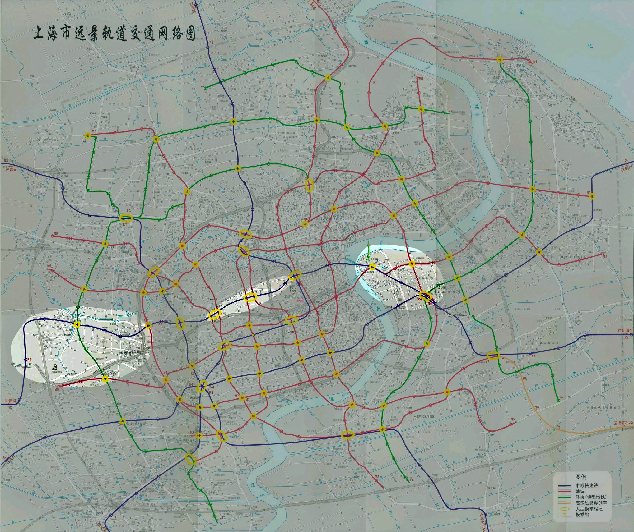
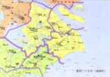
| 189 | 上海市远景轨道交通网络图 | | 1999-2006 | Shanghai shi yuanjing guidao jiaotong tu |
|
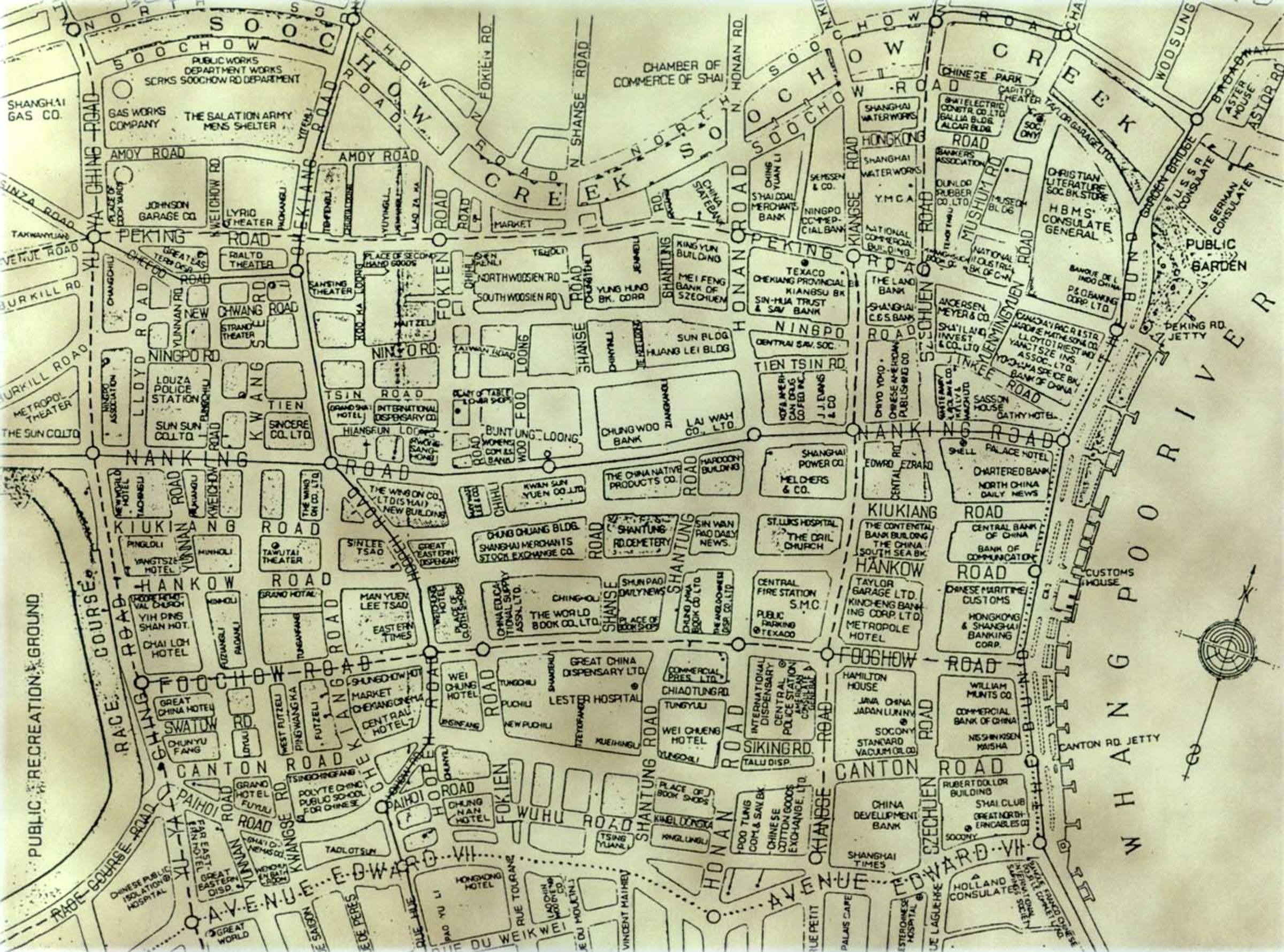
| 192 | [Central district - International Settlement] (no original title) | | 19-- | |
|
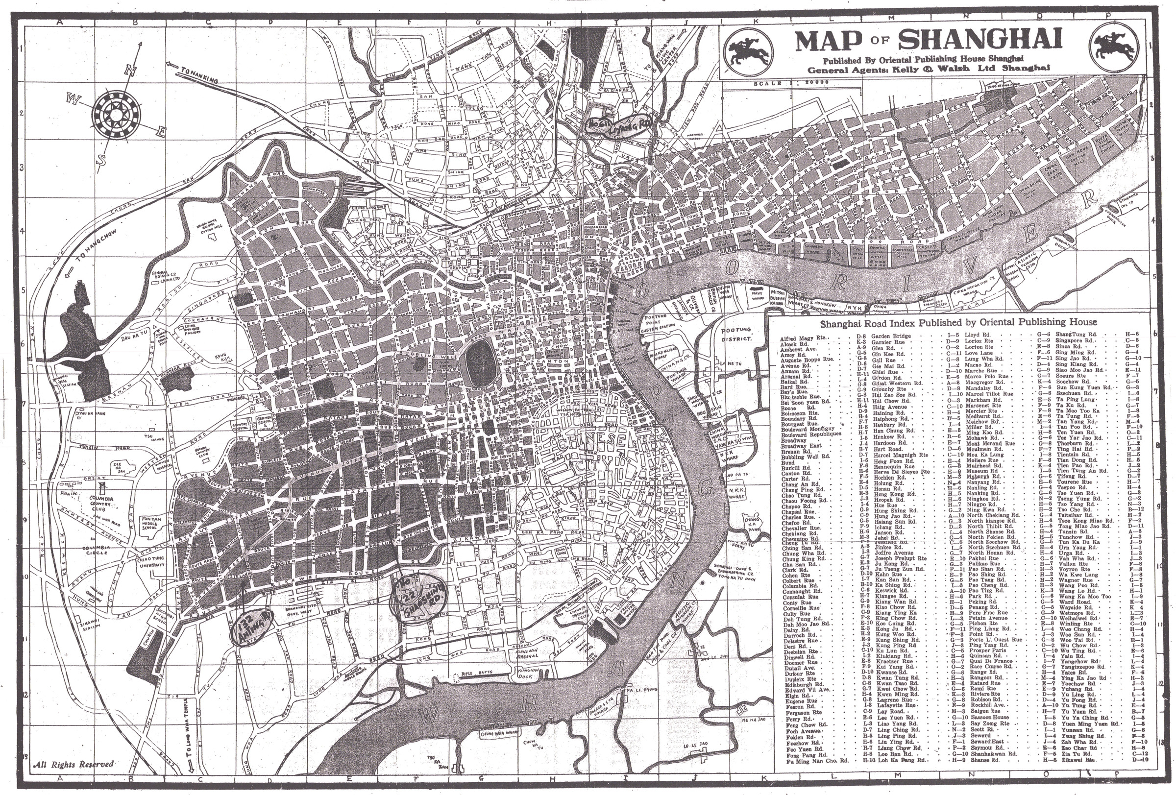
| 232 | Map of Shanghai : Supplement to "City directory of Shanghai" | | 1932? | |
|
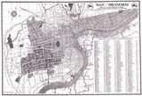
| 247 | Map of Shanghai | | 1930-1939 | |
|
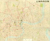
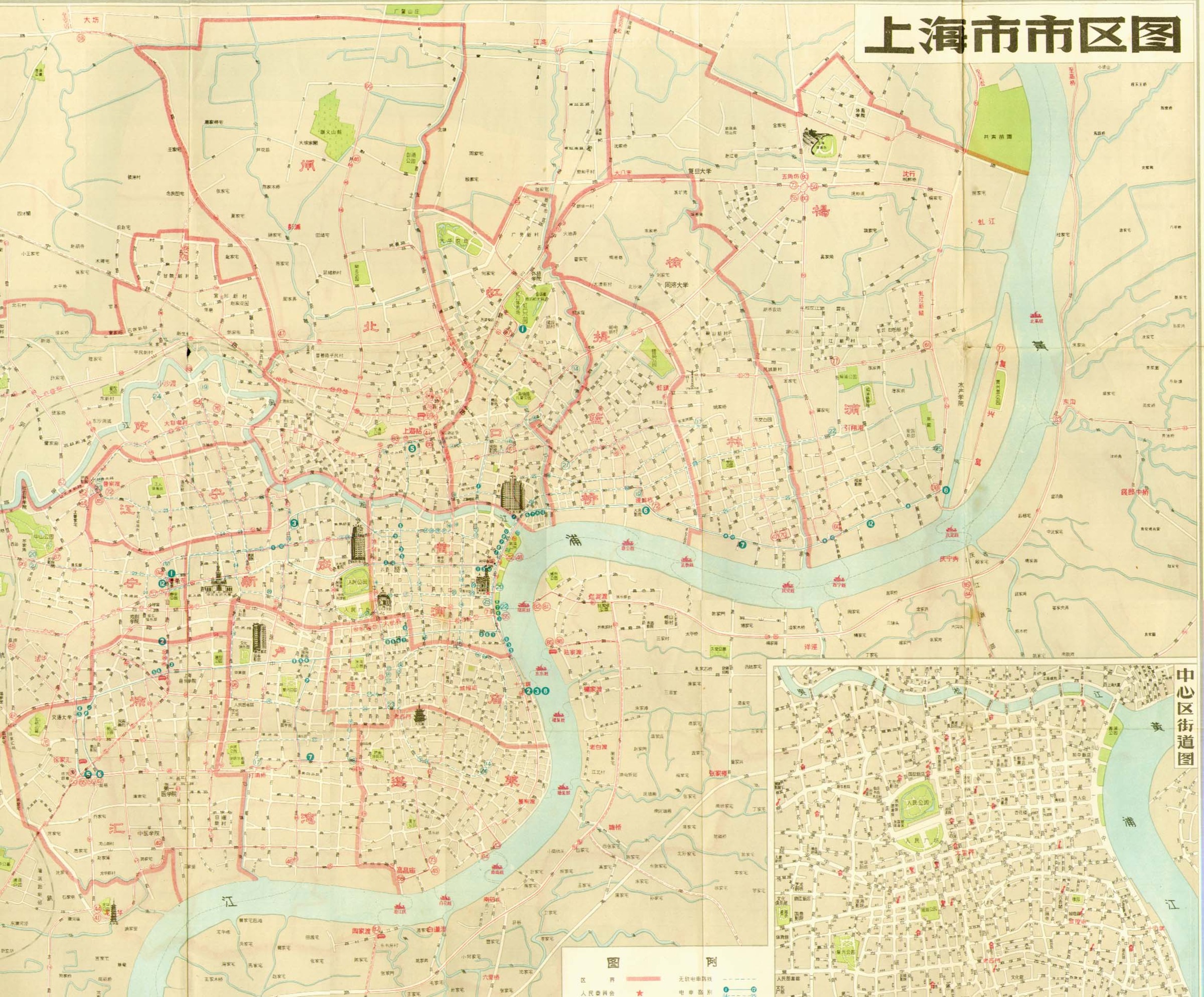
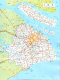
| 315 | 上海市市区图 | | | Shanghai shi shiqu tu |
|
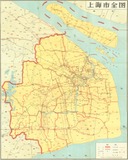
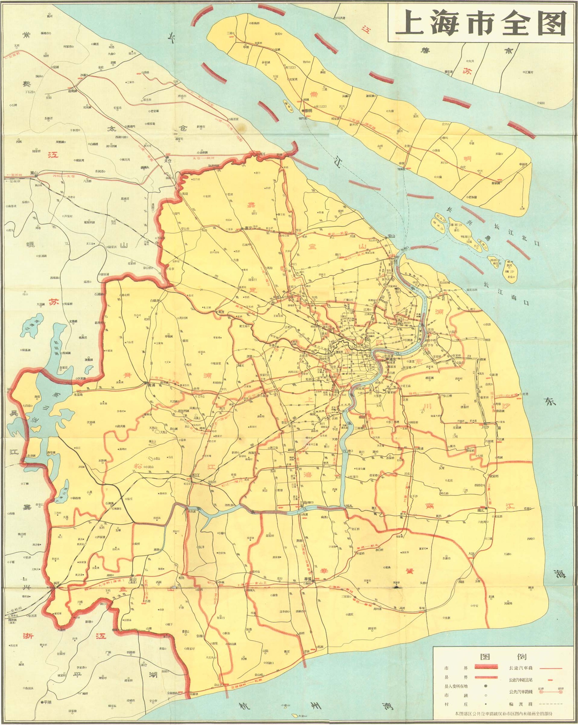
| 317 | 上海市全图 | | | Shanghai shi quan tu |
|
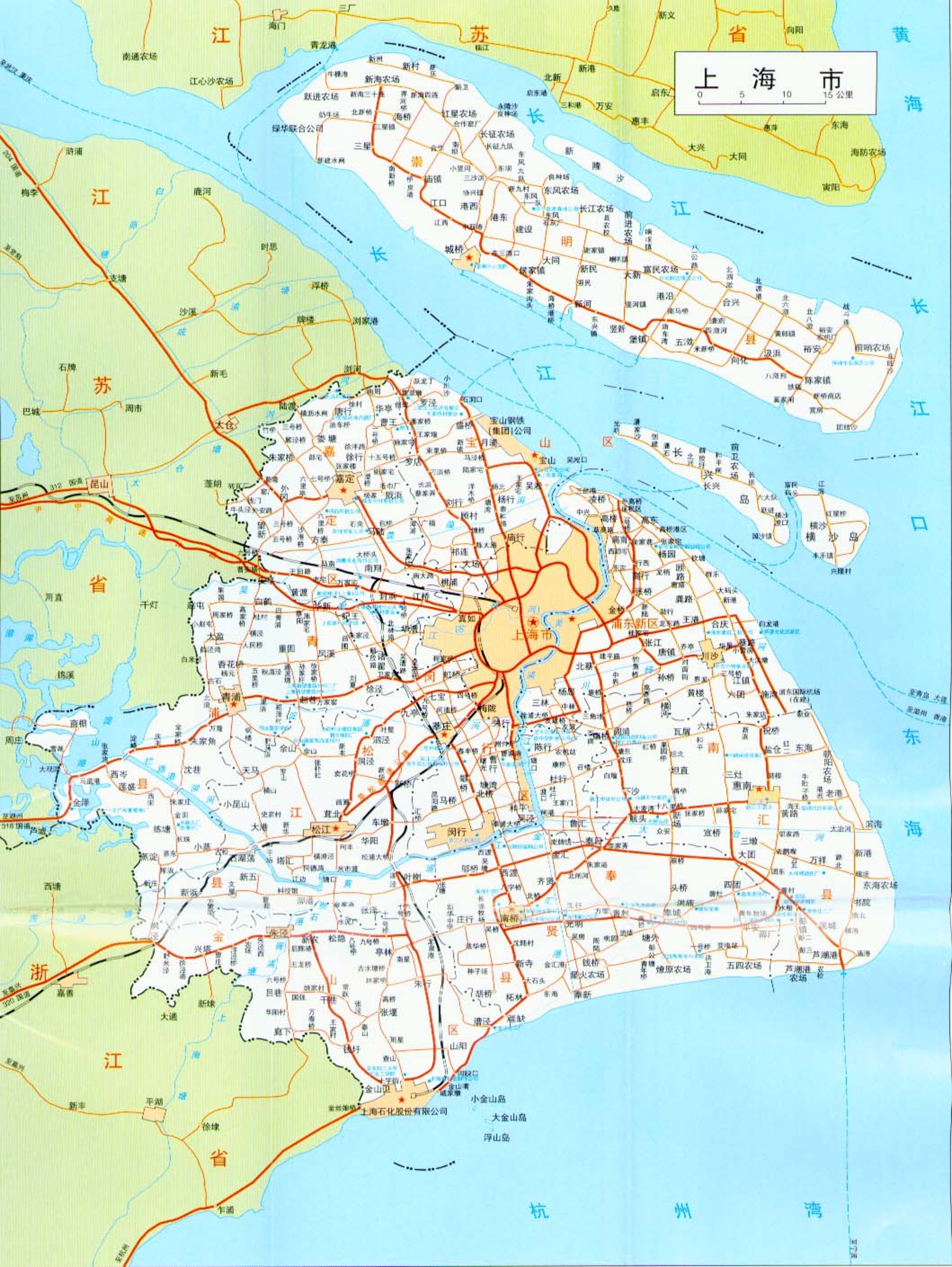
| 322 | 上海市 | | | Shanghai shi |
|
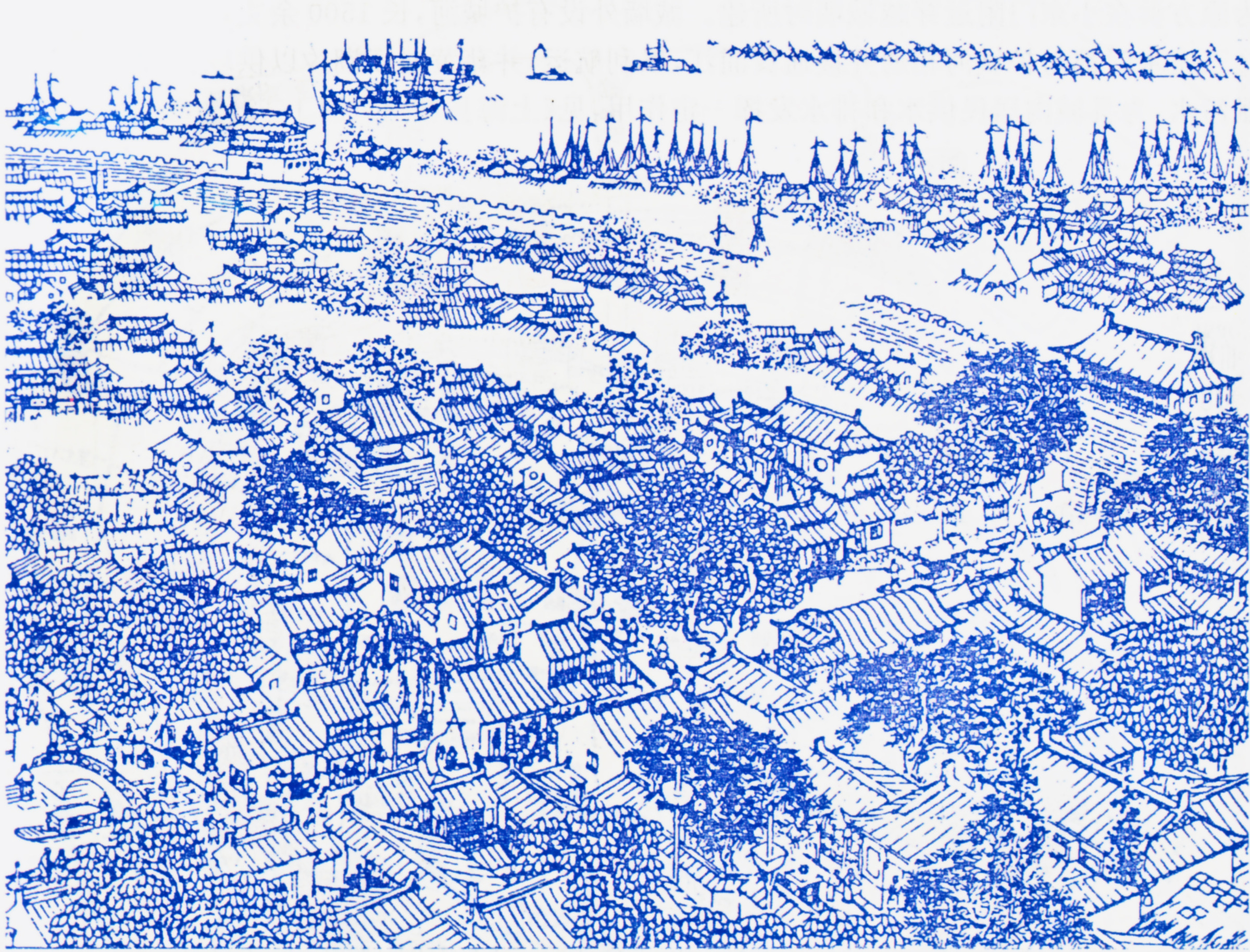
| 356 | A view of the walled city of Shanghai (Ming period) | | | |
|
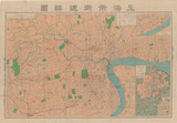
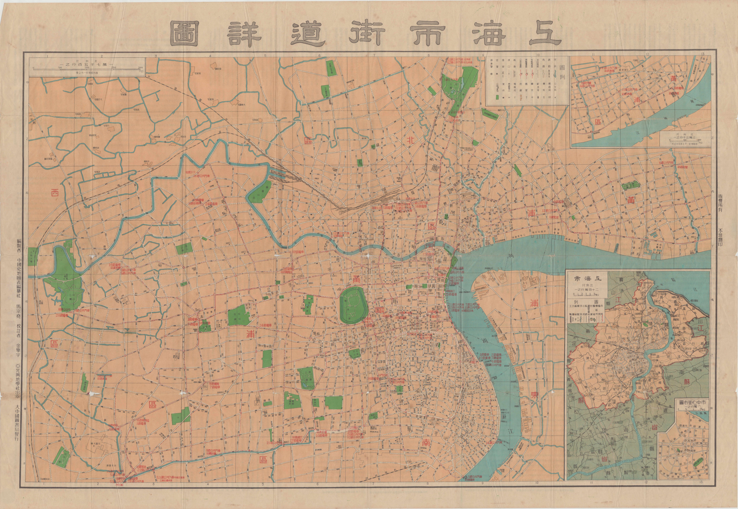
| 371 | 上海市街道詳圖 | | 1950-1954 | Shanghai shi jiedao xiangtu |
|
| 412 | First anchorage at Shanghai | | | First anchorage at Shanghai |
|
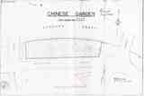
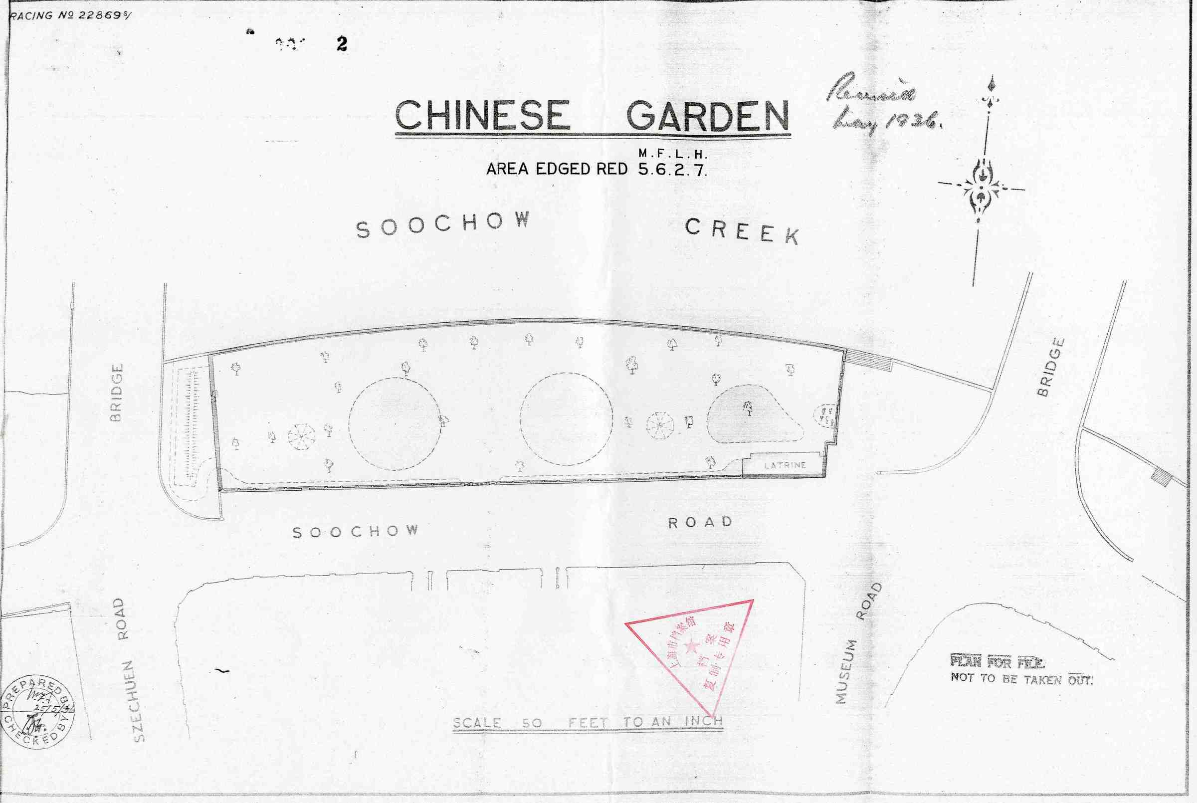
| 596 | Chinese Garden | | | |
|
| 602 | French Concession Parks | | | |
|

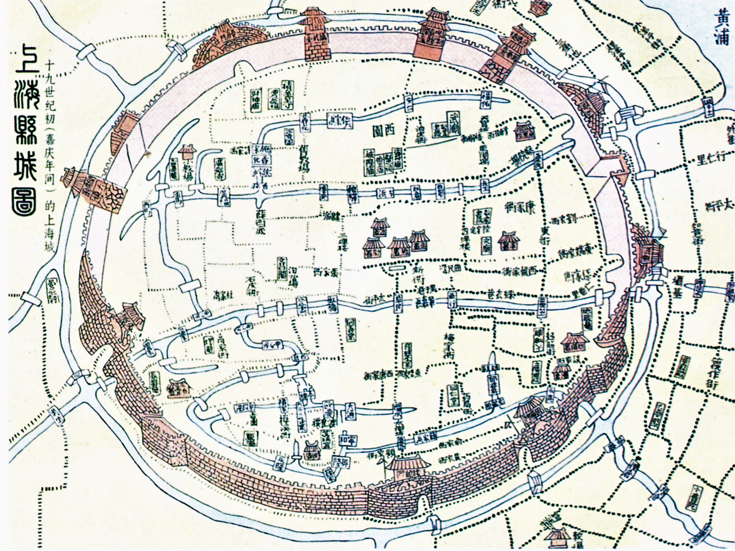
| 754 | 上海縣城圖 | | 1800-1820 | Shanghai xiancheng tu |
|
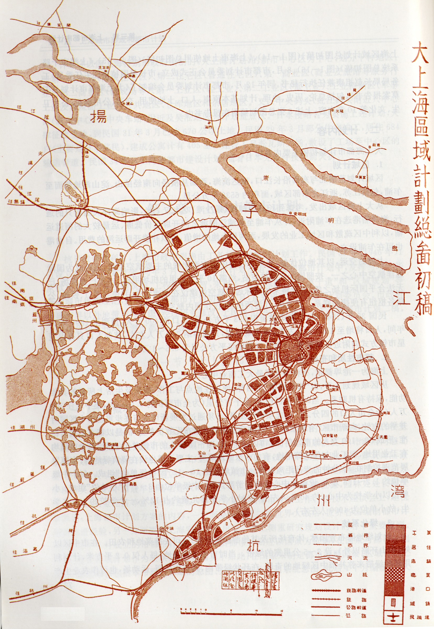
| 758 | 大上海區域計畫總面初稿 | | 1946-1948 | Da shanghai quyu jihua chugao |
|
| 759 | 上海市土地使用及乾路系統總面貳稿 | | 1946-1948 | Shanghai shi tudi shiyong ji ganlu xitong er gao |
|

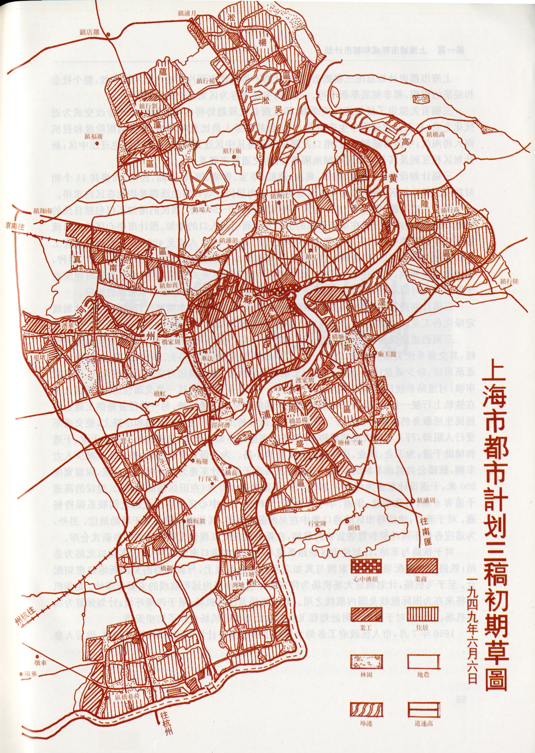
| 760 | 上海市都市計畫三稿初期草圖 | | 1946-1948 | Shanghai shi dushi jihua san gao chuqi tu |
|
| 761 | 上海市土地使用總面初稿 | | 1946-1948 | Shanghai shi tudi shiyong zongmian chugao |
|
| 777 | Outline plan of the foreign settlements at Shanghai | | 1899-1900 | |
|
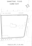
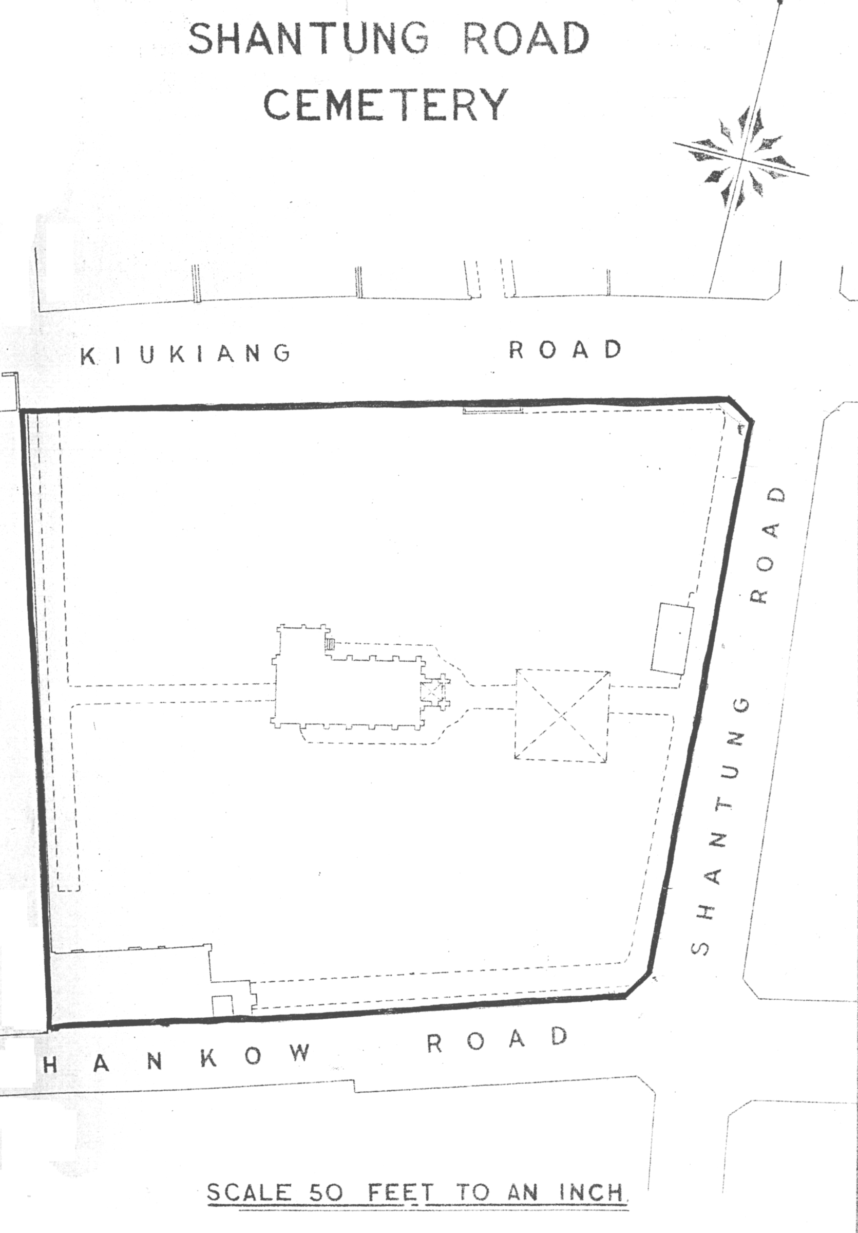
| 859 | Shantung Road Cemetery | | | Shantung Road Cemetery |
|
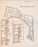
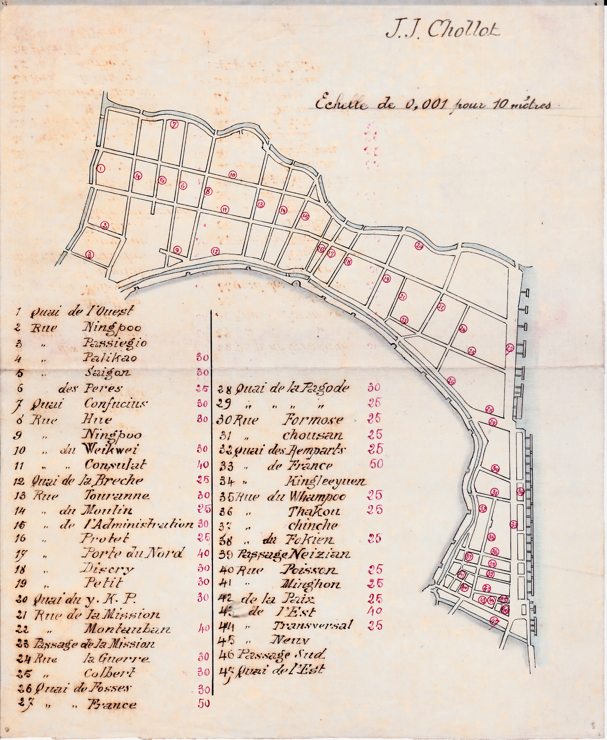
| 1668 | Plan des rues de la Concession française | | 1893-1900 | |
|
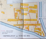
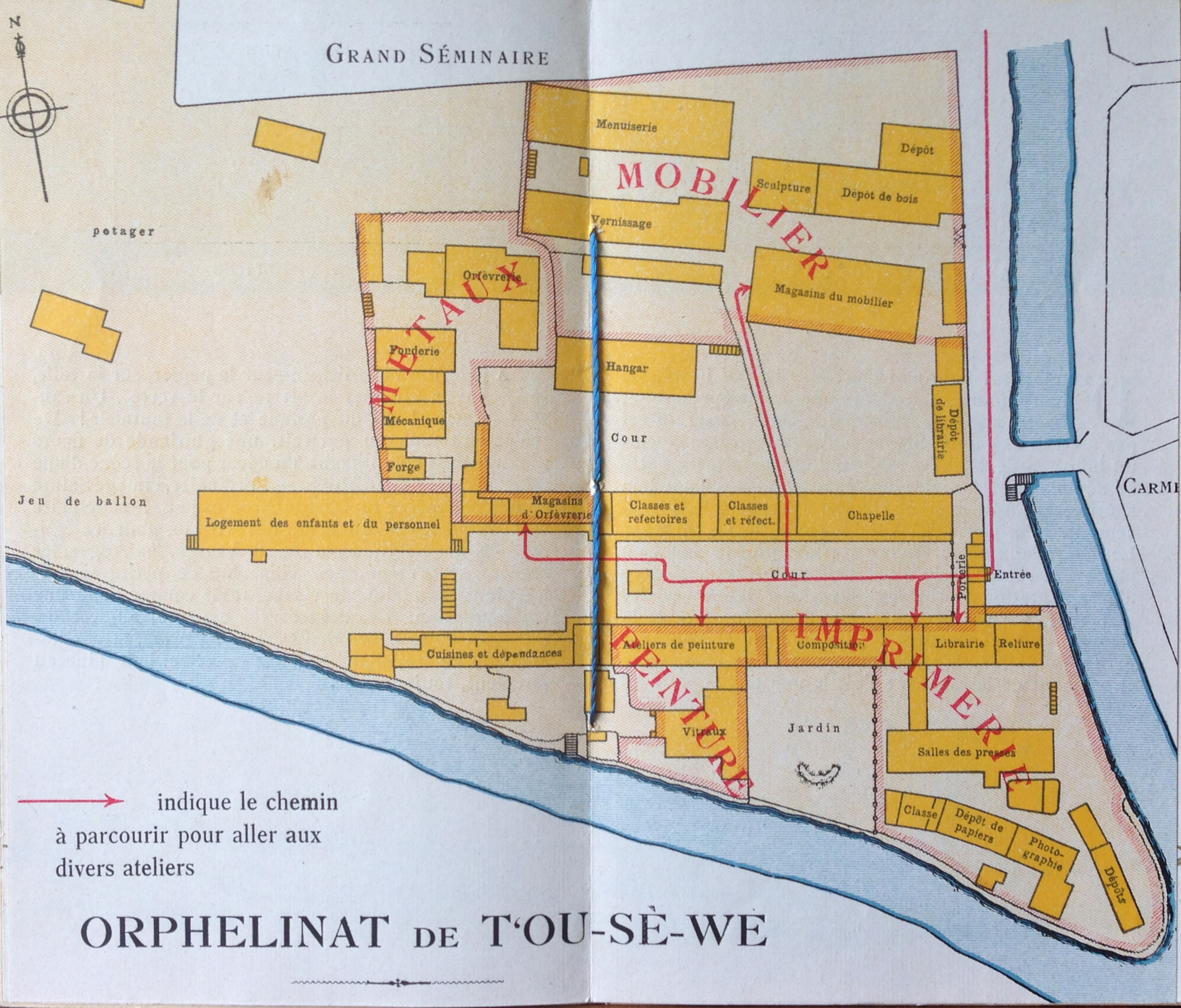
| 1858 | Orphelinat de T'ou-Sè-We | | | |
|
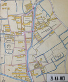
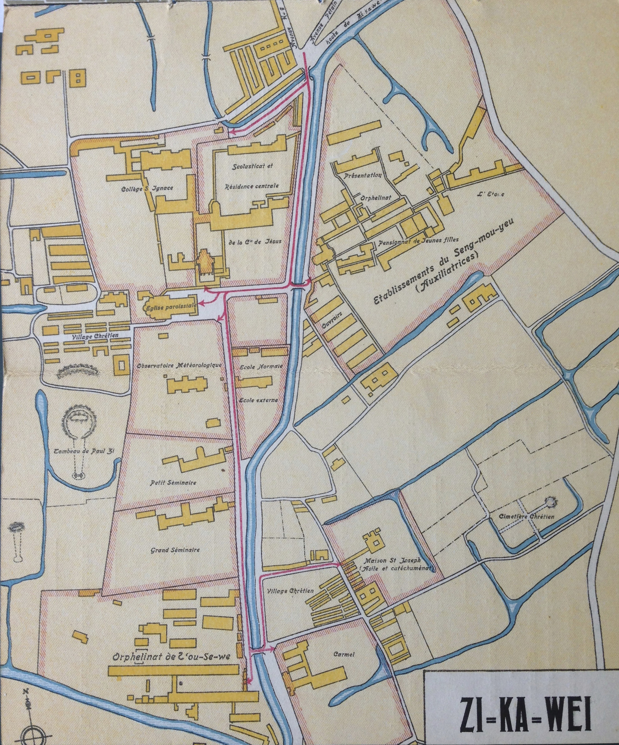
| 1859 | Zi=ka=wei (Zikawei - Xujiahui) | | | |
|
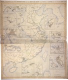
| 1865 | Map of Shanghai, its environs, Hangchow bay, Yantse Mouth, Tai Hu Lake, Shanghai-Nanking Railway, Shanghai-Hangchow Railway | | | |
|

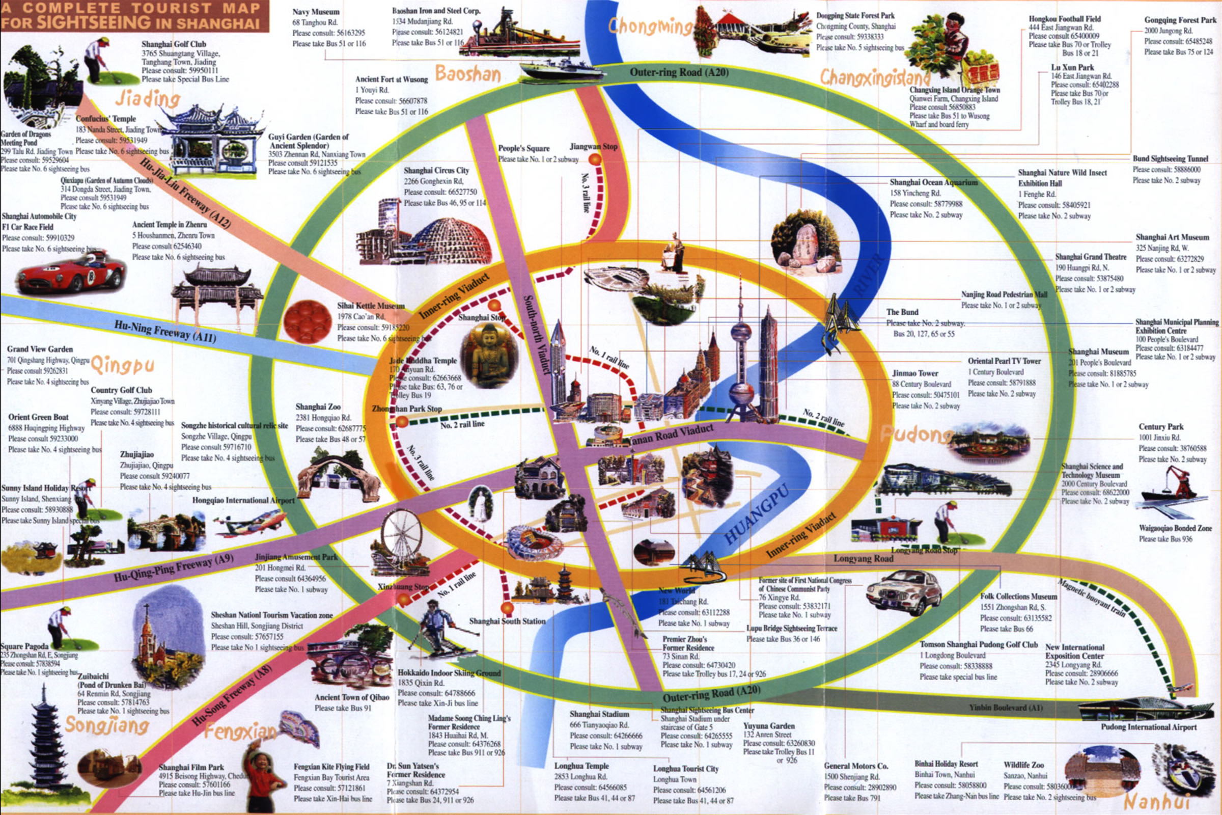
| 1867 | A complete tourist map for sightseeing in Shanghai | | 2000-2009 | |
|

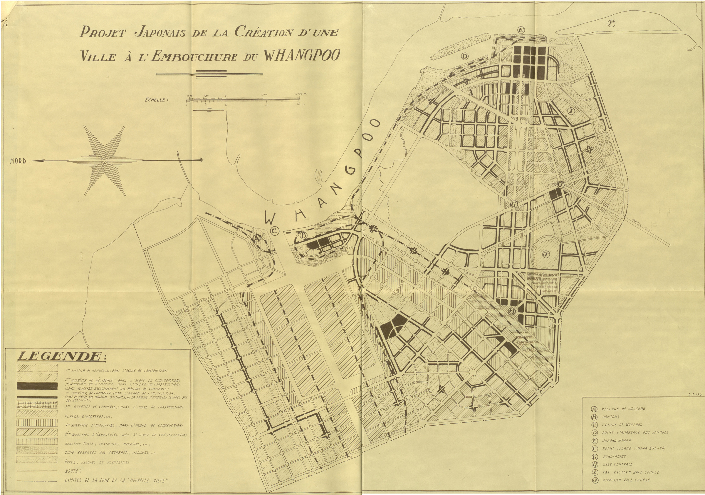
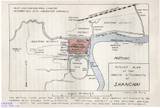
| 1871 | Projet japonais de création d'une ville à l'embouchure du Whangpoo | | 1938-1945 | |
|

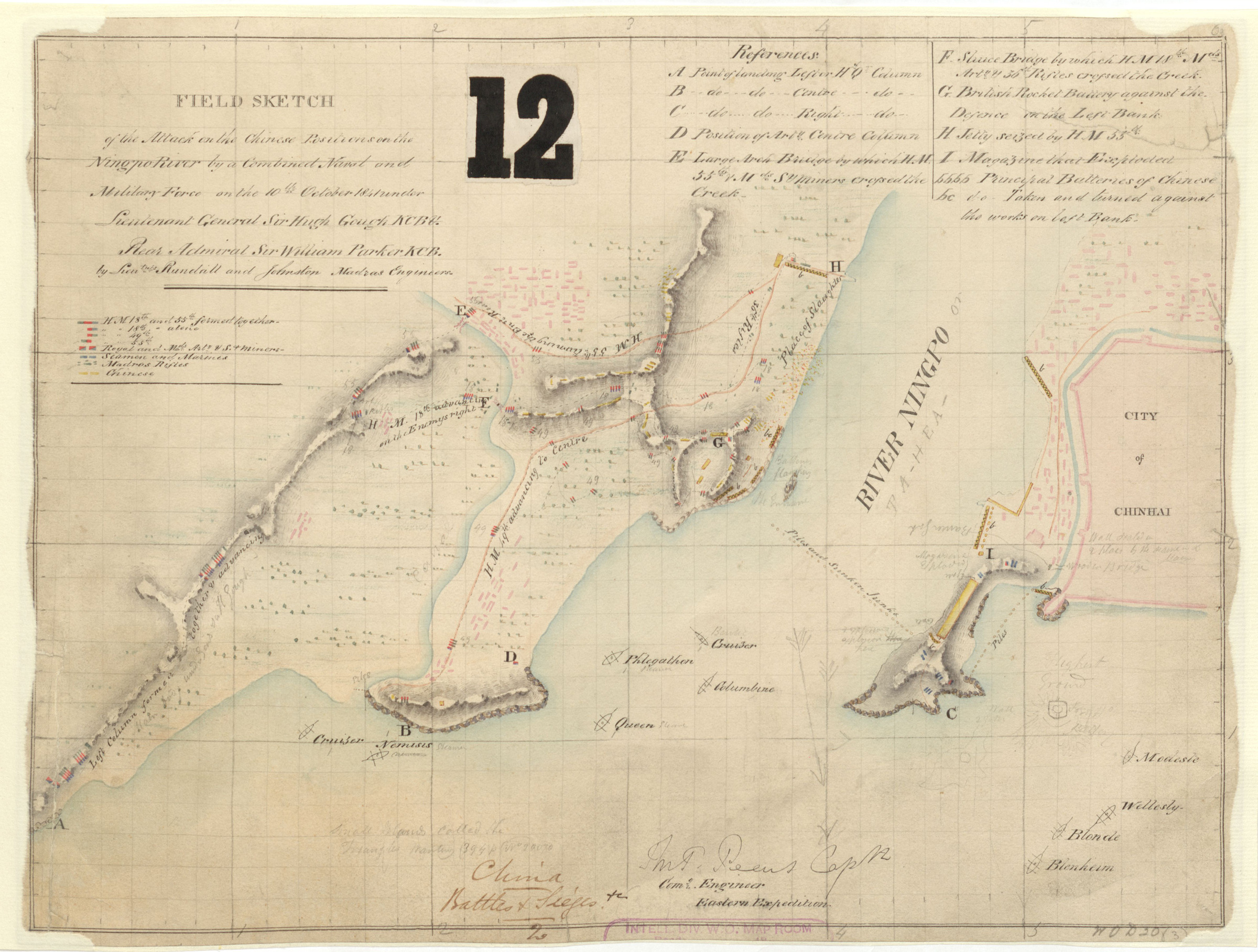
| 1885 | Field Sketch - Chinhai [Zhenhai 鎮海] | | | |
|
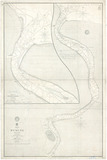
| 1897 | Map of the Huangpu River | | 1912-1927 | |
|
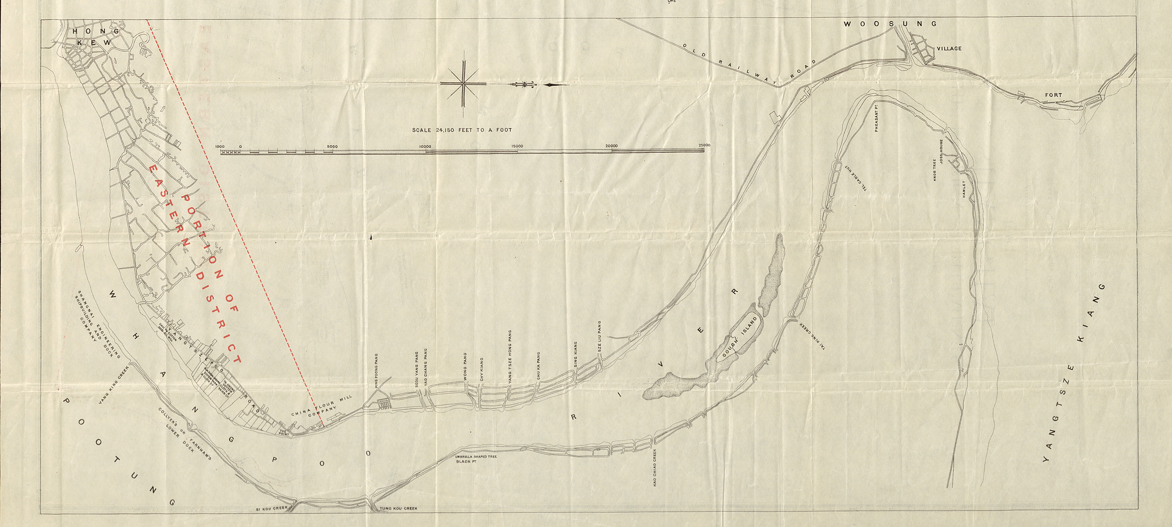
| 2004 | [Untitled] Map of Shanghai-Wusong | | | |
|
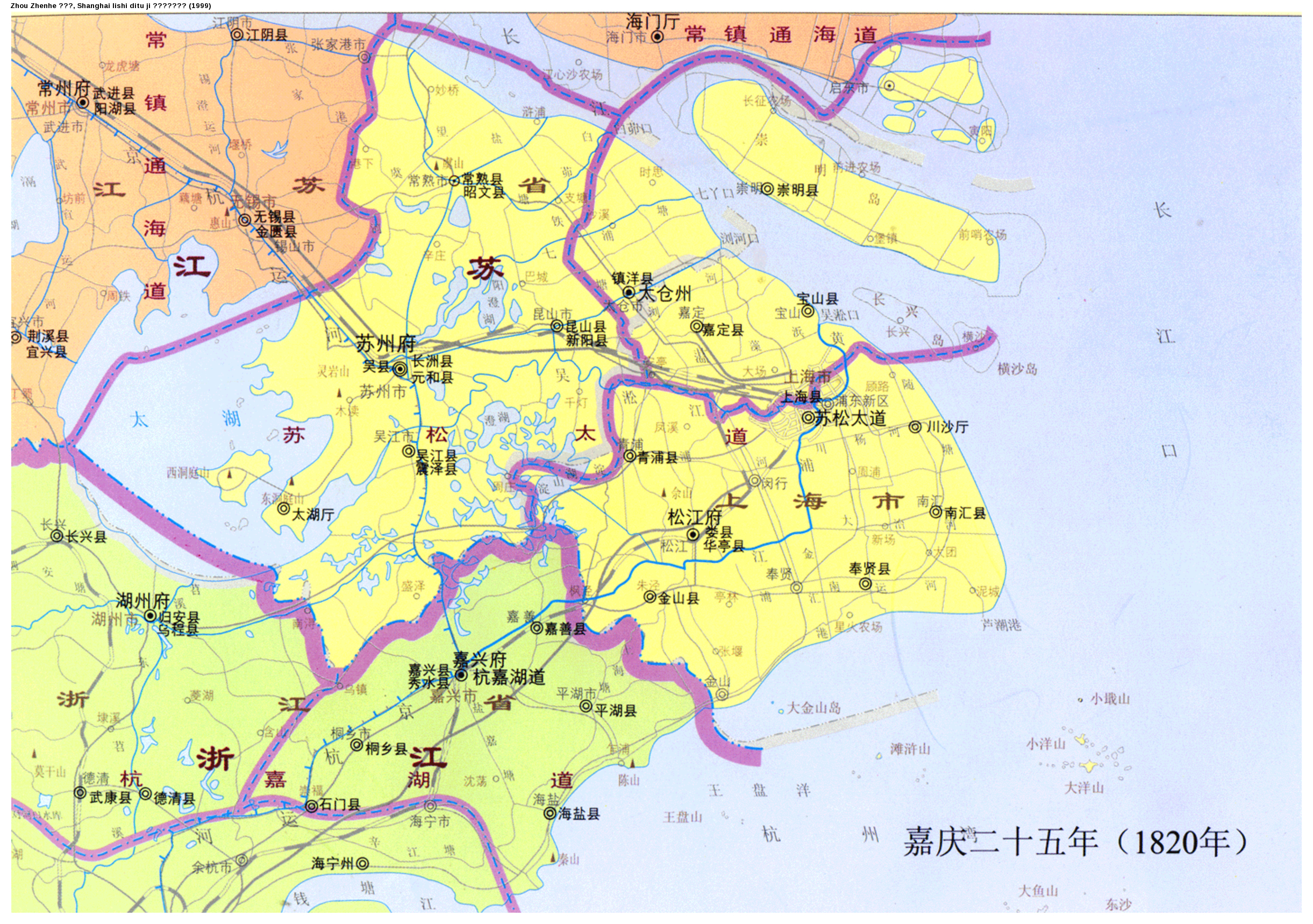
| 660 | [上海] 嘉慶二十五年 (1820年) | 1820 | | [Shanghai] Jiaqing ershiwu nian |
|
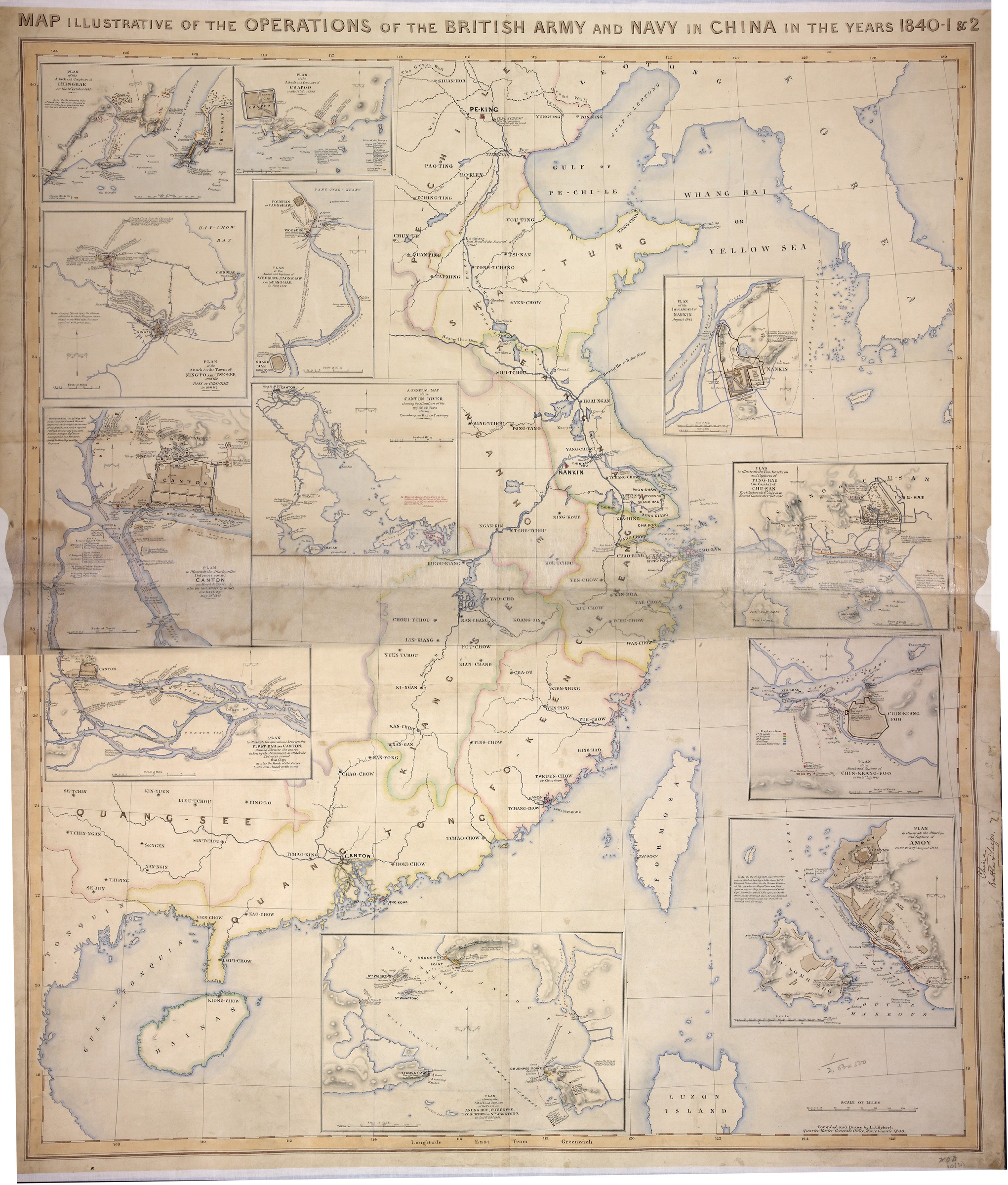
| 764 | Plan of the attack and capture of Woosung, Paonshan, and Shang-hae in June 1842 | 1843 | | Plan of the acctack and capture of Woosung, Paonshan, and Shang-hae in June 1842 |
|
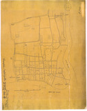
| 750 | [Plan of the English Settlement] | 1847 | | [Plan of the English Settlement] |
|
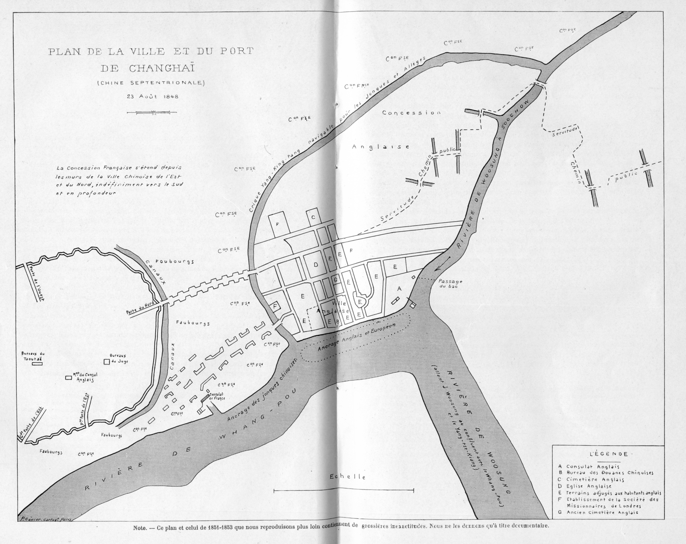
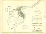
| 413 | Plan de la ville et du port de Changhaï (Chine septentrionale) 23 août 1848 | 1848 | | Plan de la ville et du port de Shanghai (Chine septentrionale) 23 août 1848 |
|
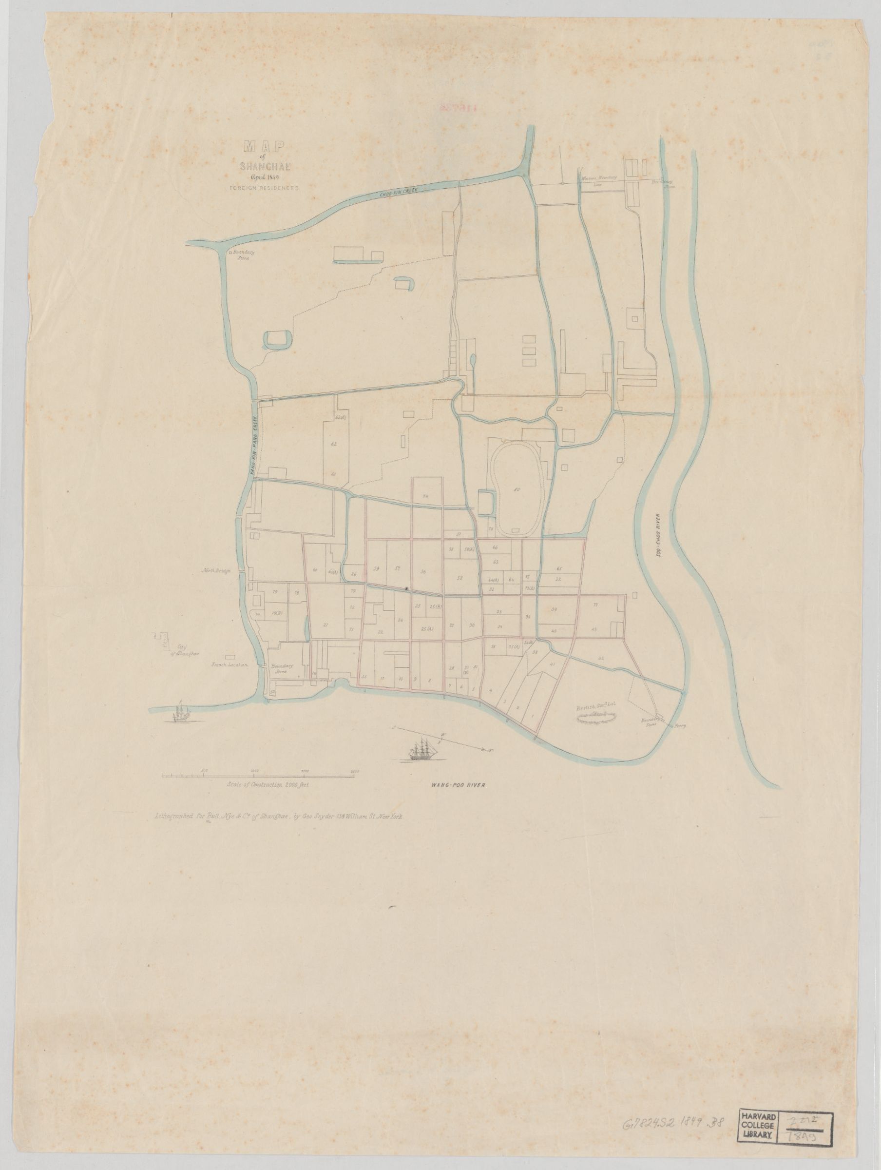
| 1851 | Map of Shanghae. April 1849 : foreign residences | 1849 | | |
|
| 416 | Les concessions en 1851 | 1851 | | Les concessions en 1851 |
|
| 414 | Concession française (de 1851 à 1853) | 1853 | | Concession française (de 1851 à 1853) |
|

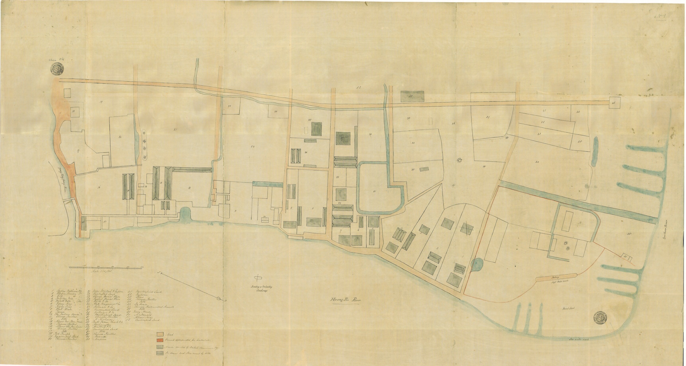
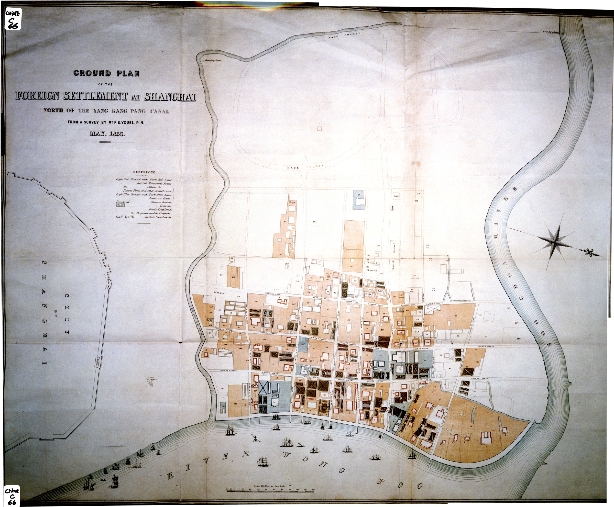
| 30 | Ground plan of the Foreign Settlement at Shanghai - North of the Yang Kang Pang Canal | 1855 | | Ground plan of the Foreign Settlement at Shanghai - North of the Yang Kang Pang Canal |
|
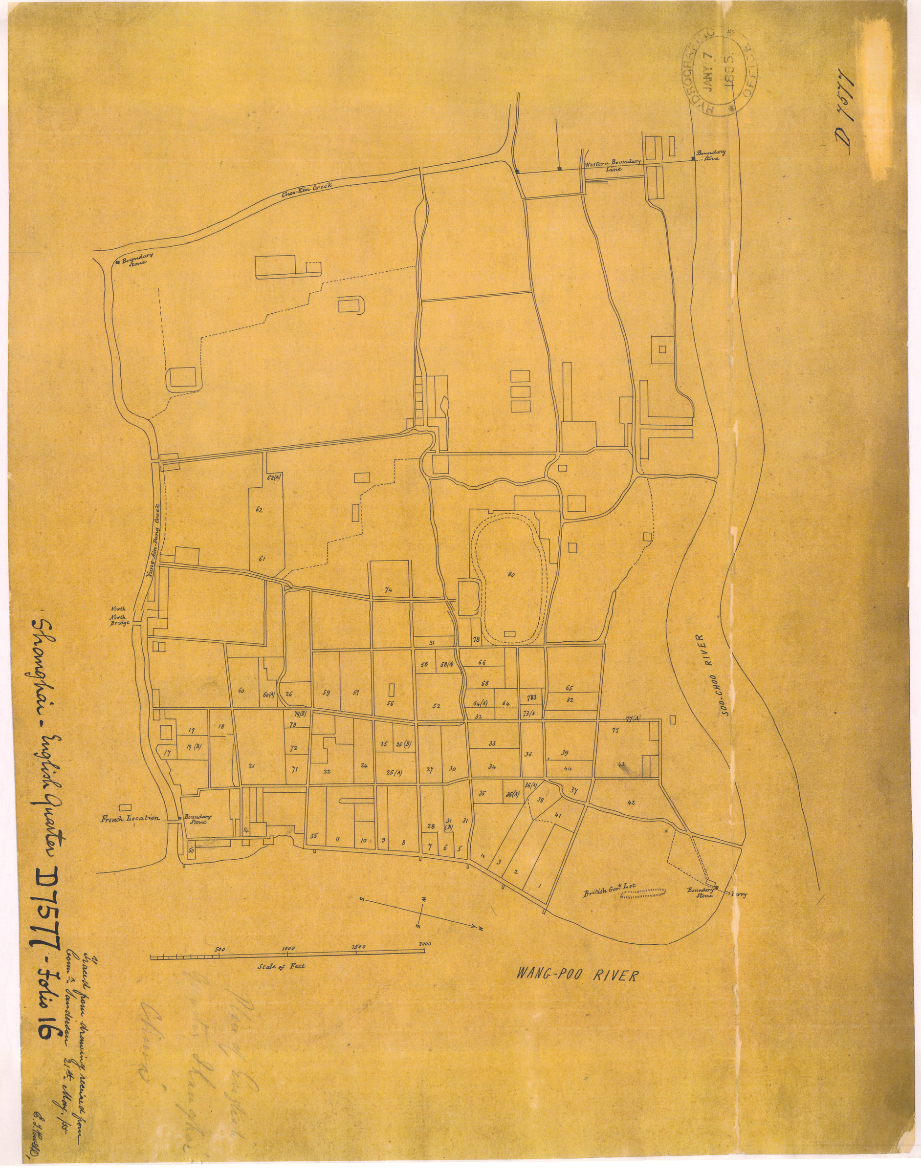
| 740 | Shanghai - English Quarter | 1855 | | Shanghai - English Quarter |
|
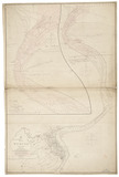
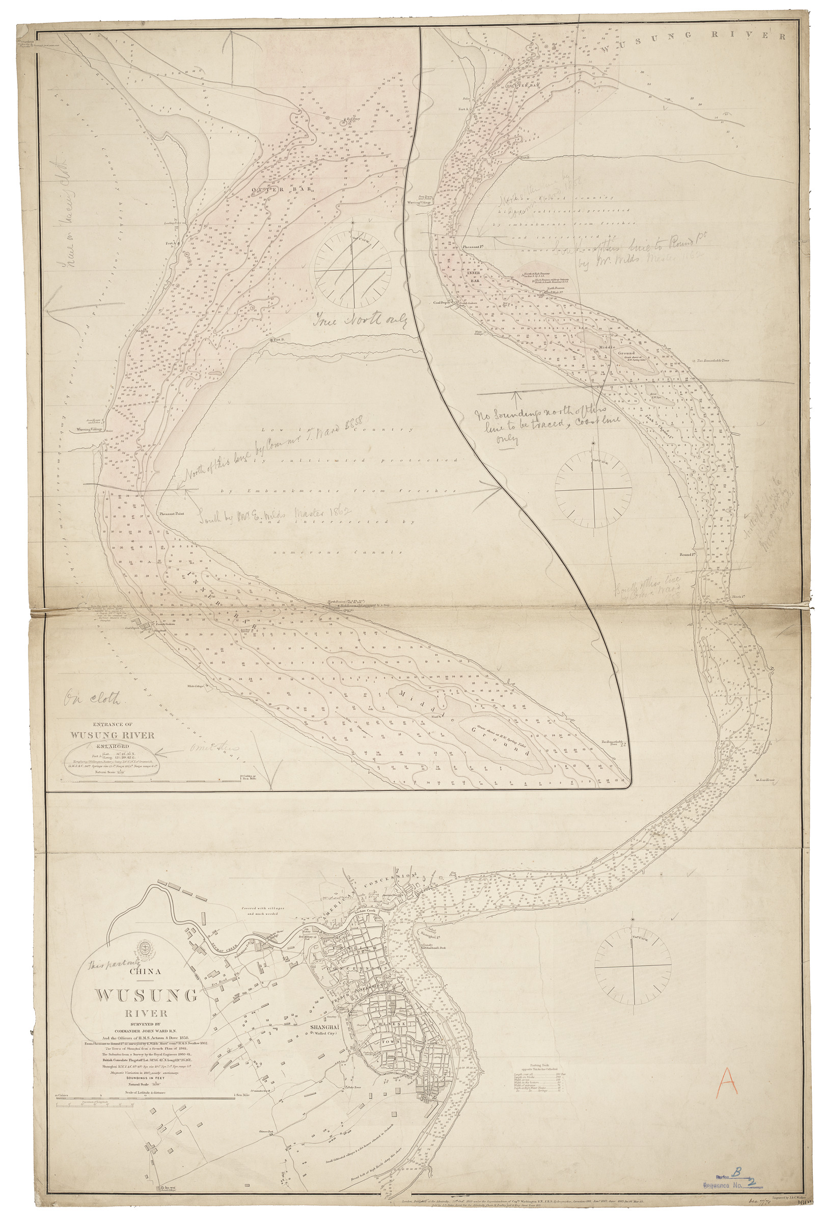
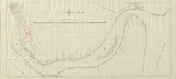
| 799 | Woosung River (1858) | 1858 | | Woosung River (1858) |
|
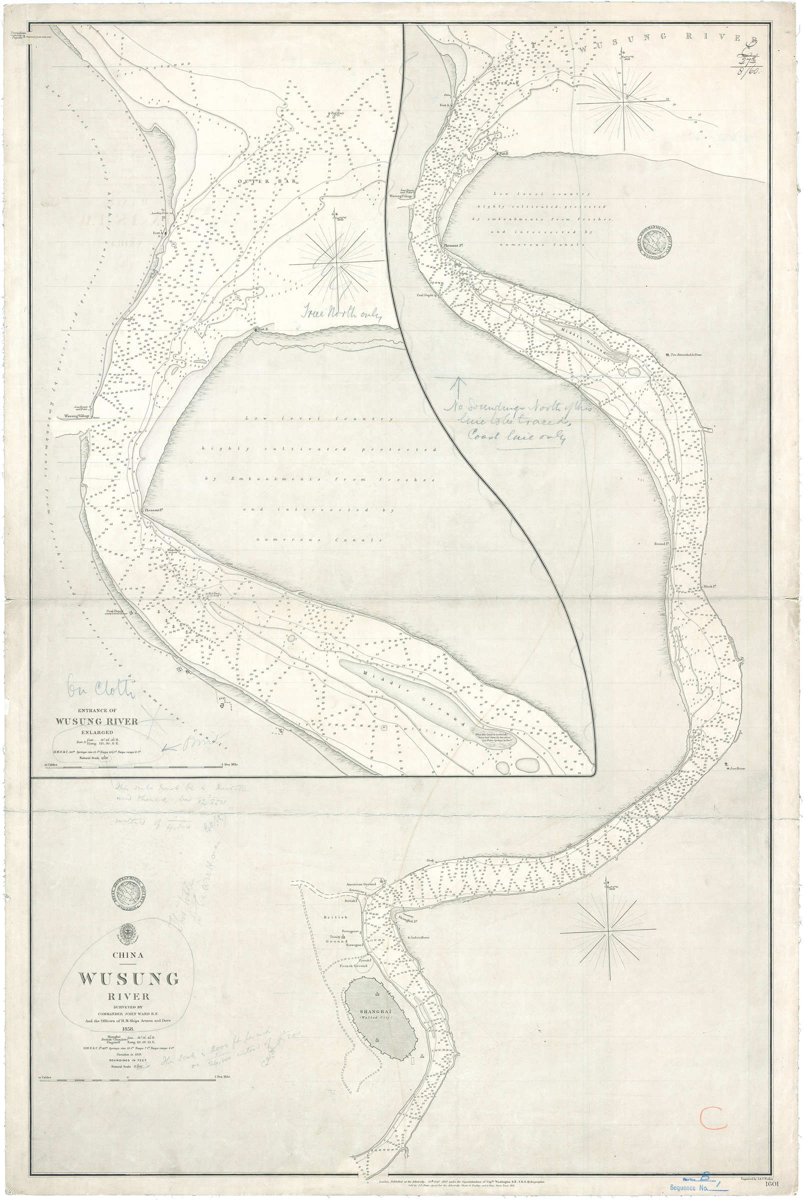
| 745 | Shanghai Harbour (1858) | 1859 | | Shanghai Harbour (1858) |
|
| 729 | City, Settlement and Environs of Shanghai | 1861 | | City, Settlement and Environs of Shanghai |
|
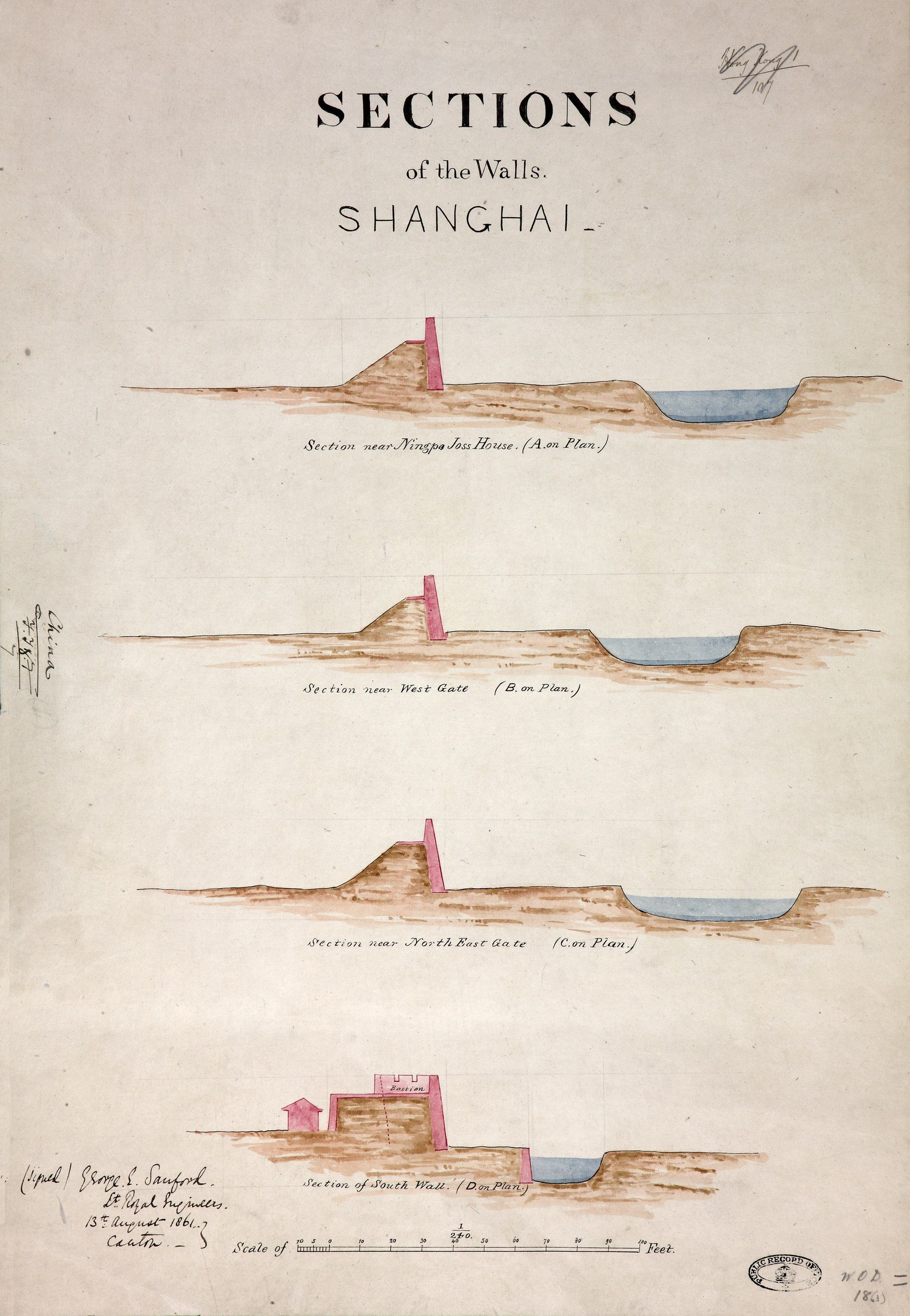
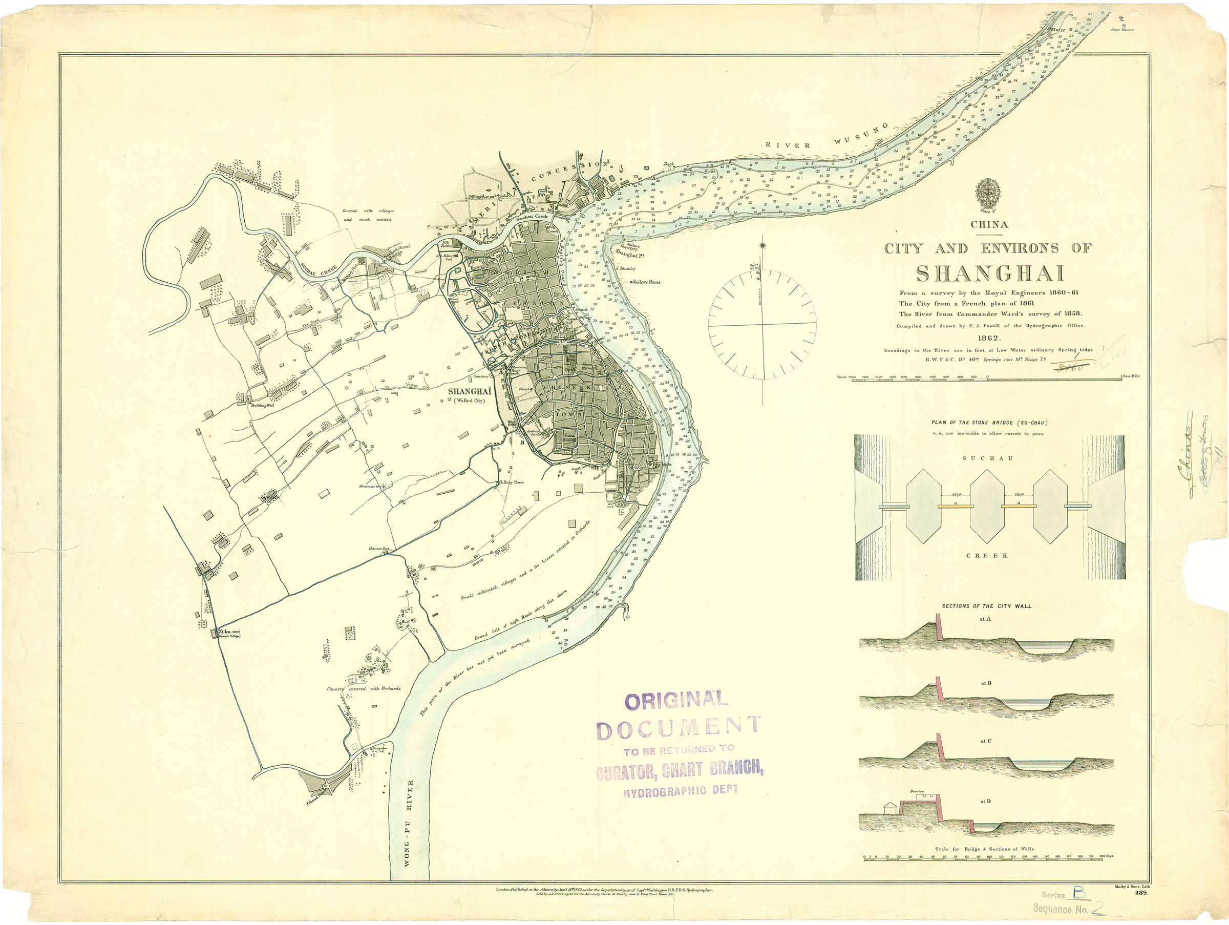
| 345 | City and Environs of Shanghai | 1862 | | |
|

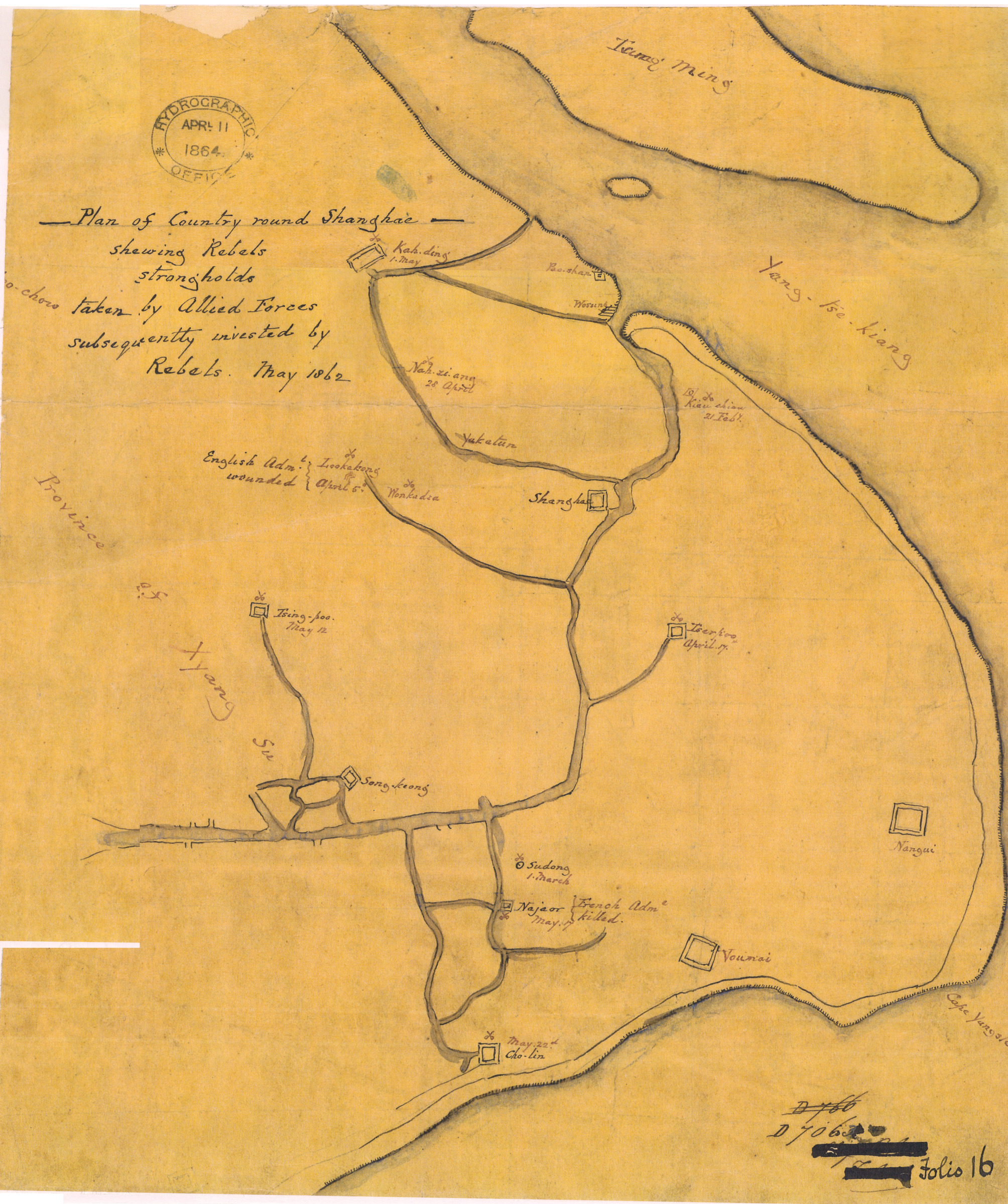
| 753 | Plan of county round Shanghai showing rebels strongholds taken by allied forces subsequently invested by rebels | 1862 | | Plan of county round Shanghai showing rebels strongholds taken by allied forces subsequently invested by rebels |
|
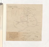
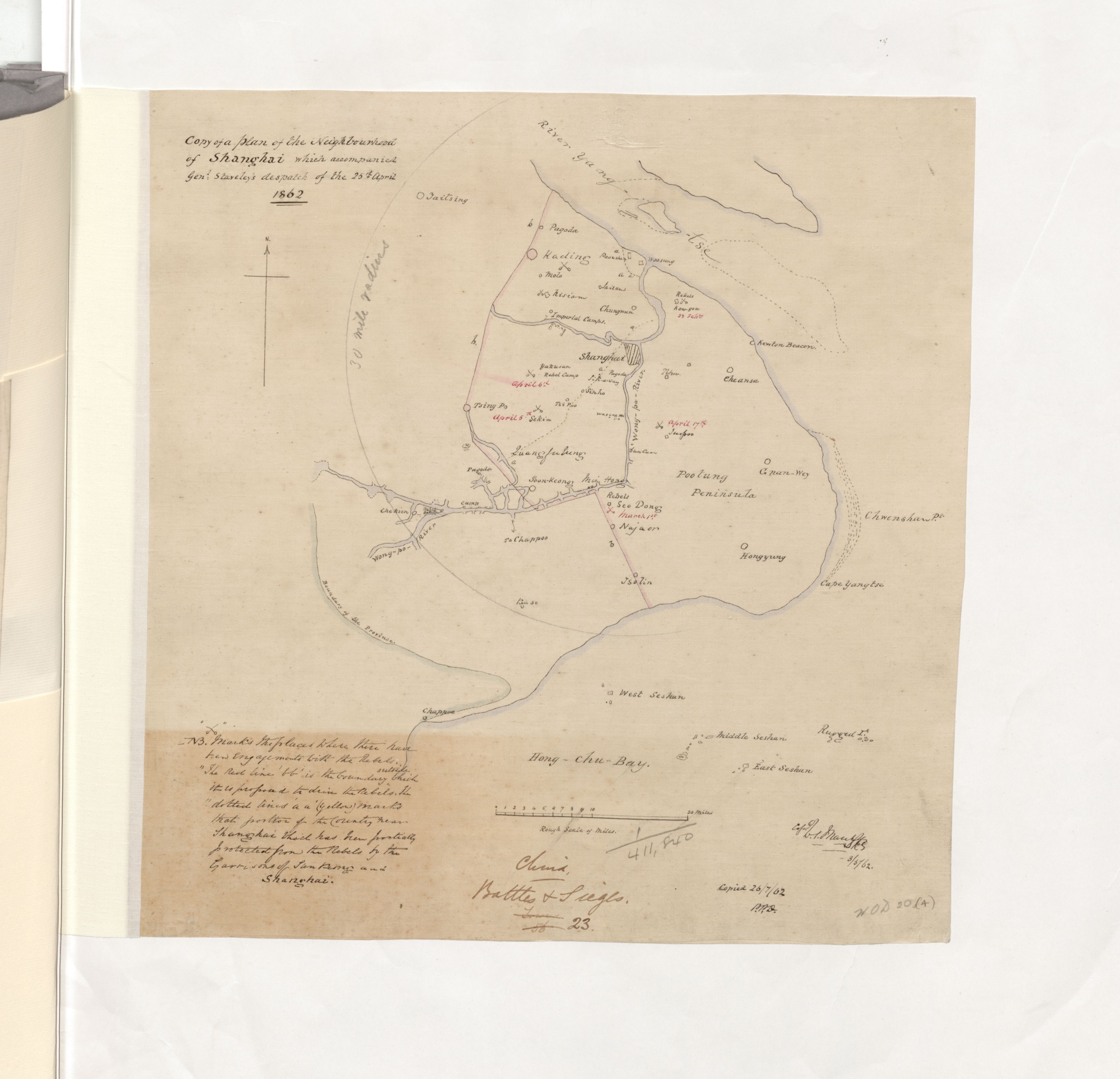
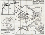
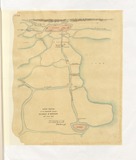
| 1886 | Copy of a plan of the neighborhood of Shanghai | 1862 | | |
|
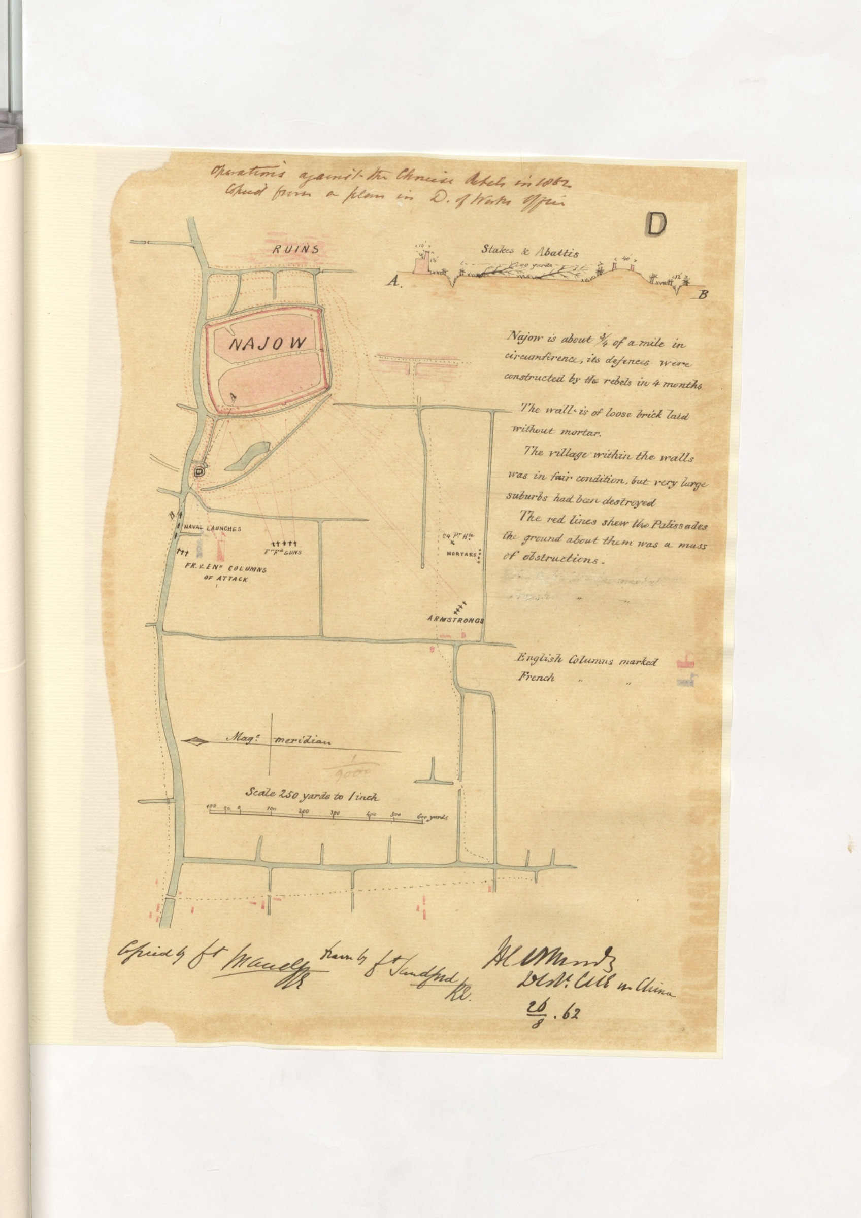
| 1891 | Najow | 1862 | | |
|
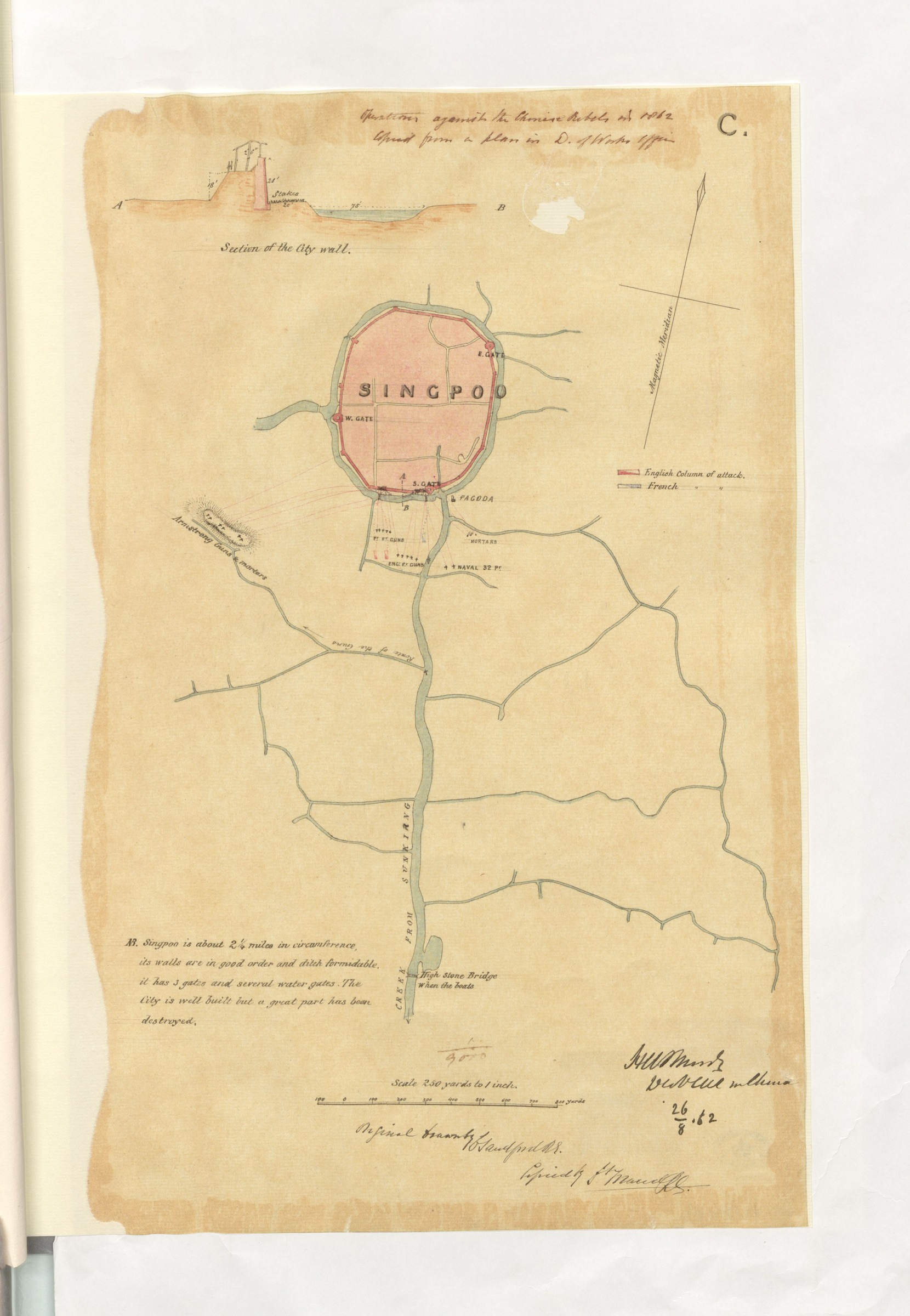
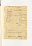
| 1892 | Singpoo | 1862 | | Qingpu |
|
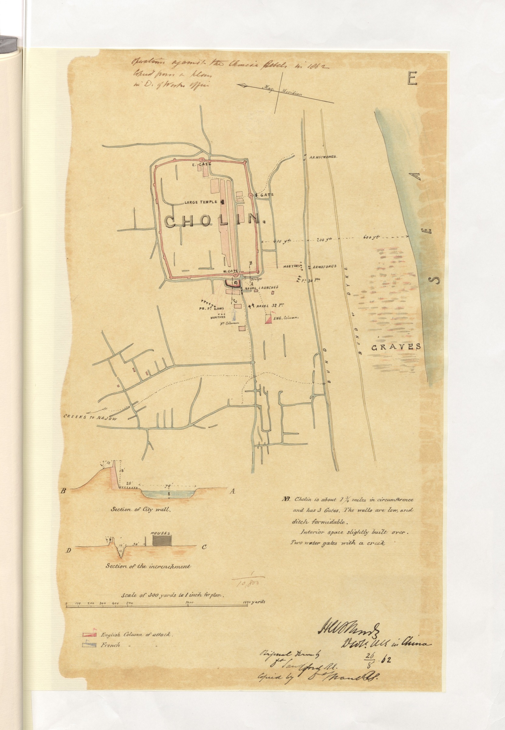
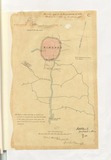
| 1893 | Cholin | 1862 | | |
|
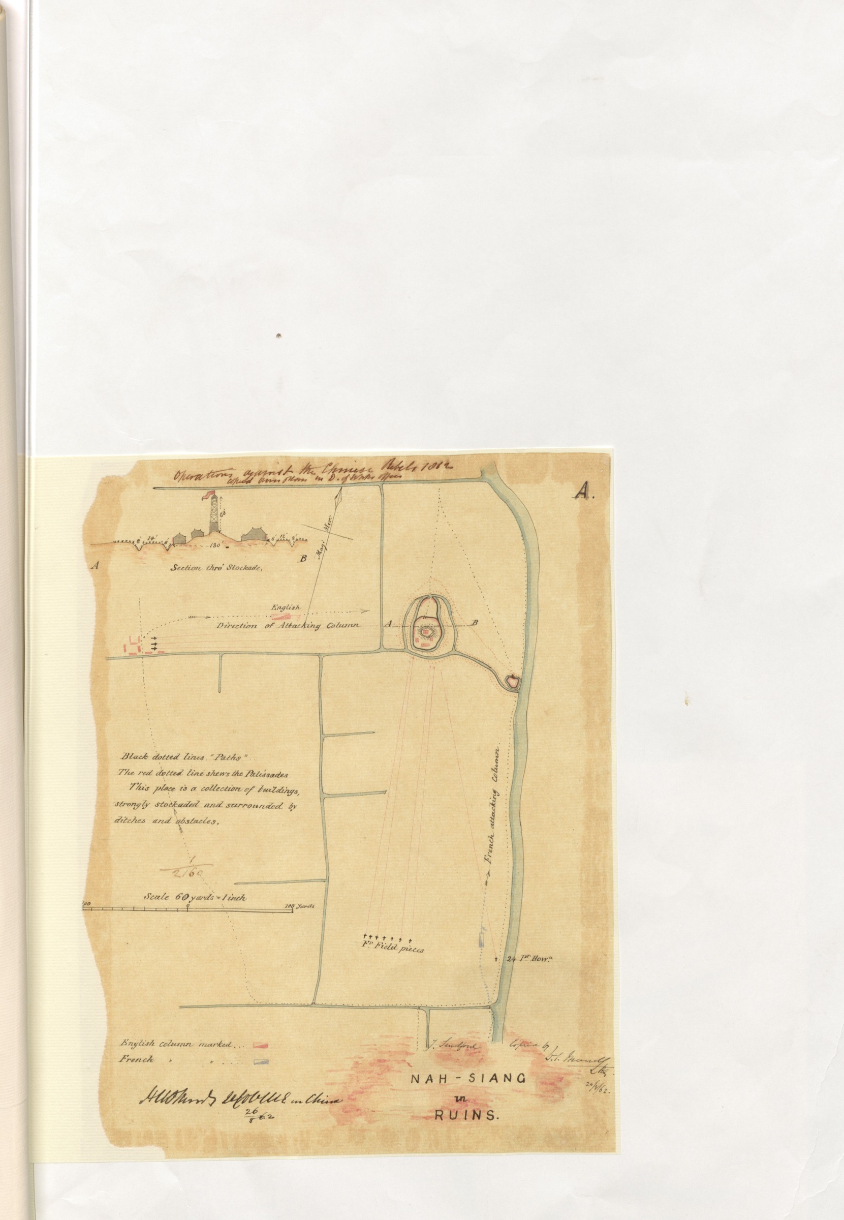
| 1894 | Nah-siang in ruins | 1862 | | Nanxiang |
|

| 1895 | Ka-ting | 1862 | | Jiading |
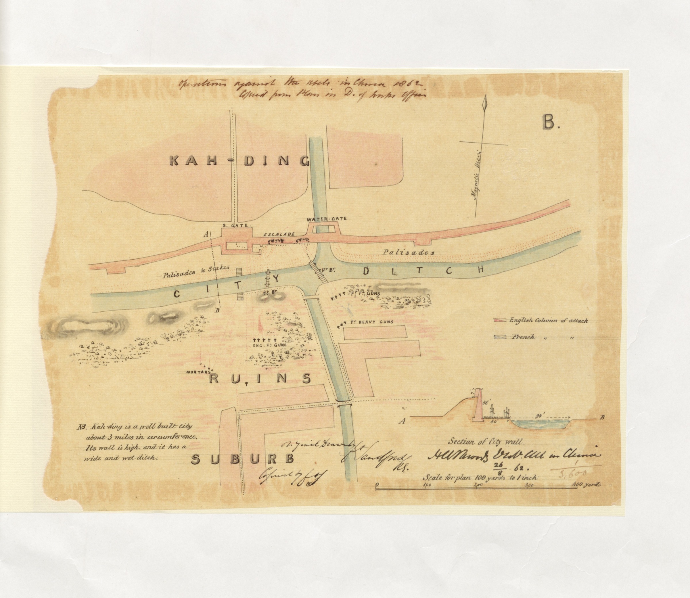
|
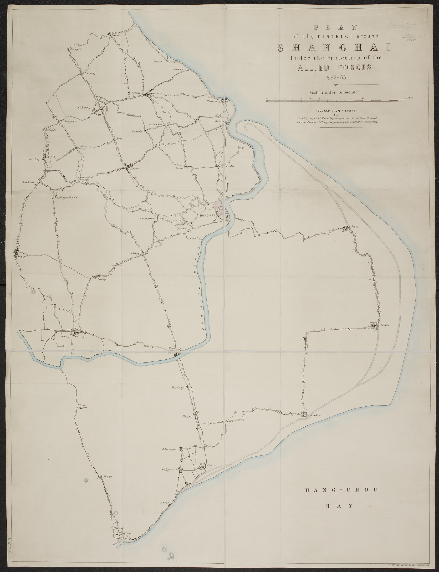
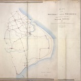
| 569 | Plan of the district around Shanghai under the protection of the Allied Forces | 1863 | 1862-1863 | Plan of the district around Shanghai under the protection of the Allied Forces |
|
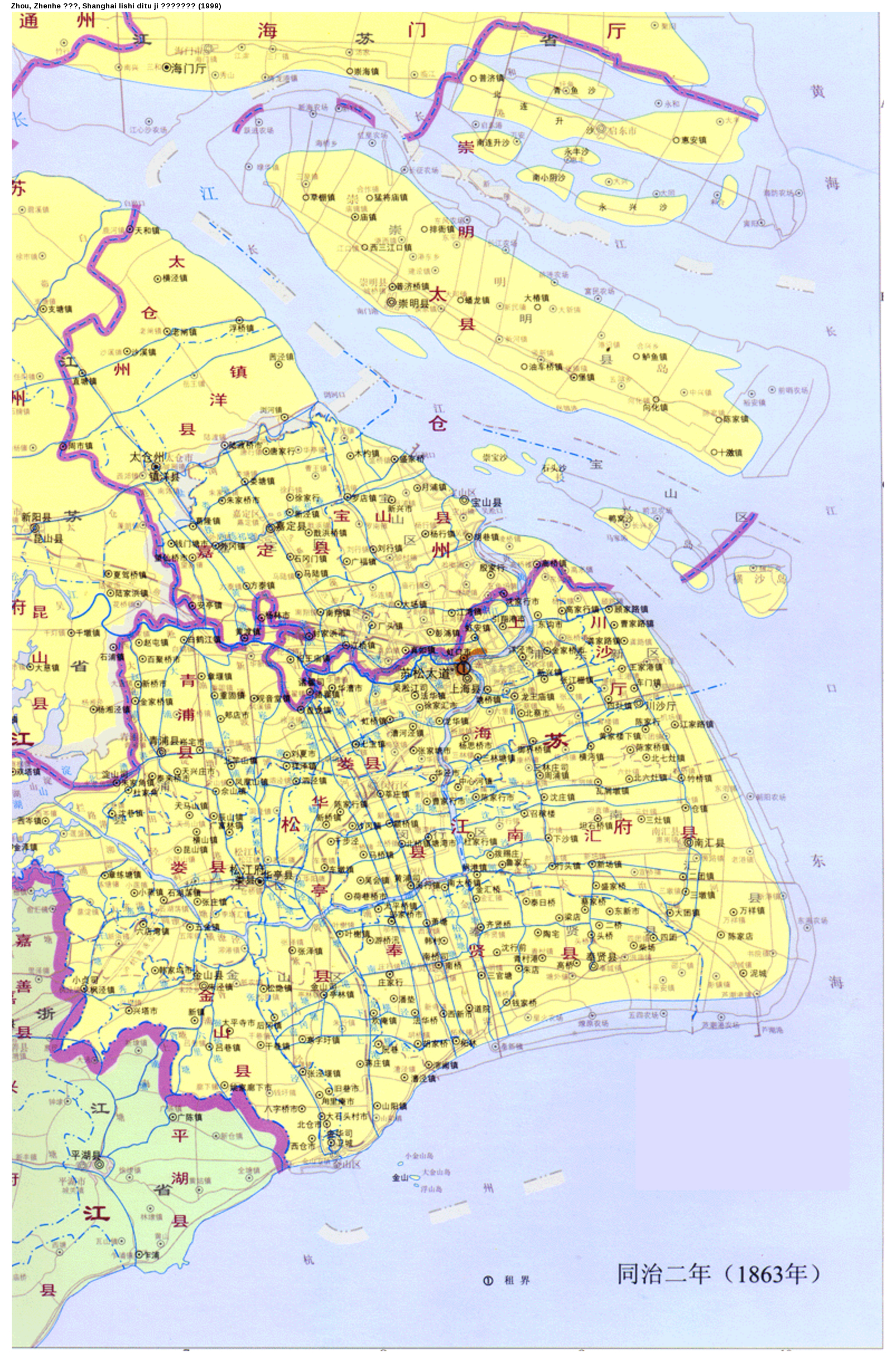
| 661 | [上海] 同治二年 (1863年) | 1863 | | [Shanghai] Tongzhi er nian |
|
| 728 | Plan of the district around Shanghai under the protection of the Allied Forces, 1862-63 | 1863 | 1862-1863 | Plan of the district around Shanghai under the protection of the Allied Forces, 1862-63 |
|
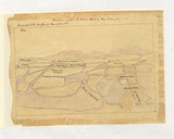
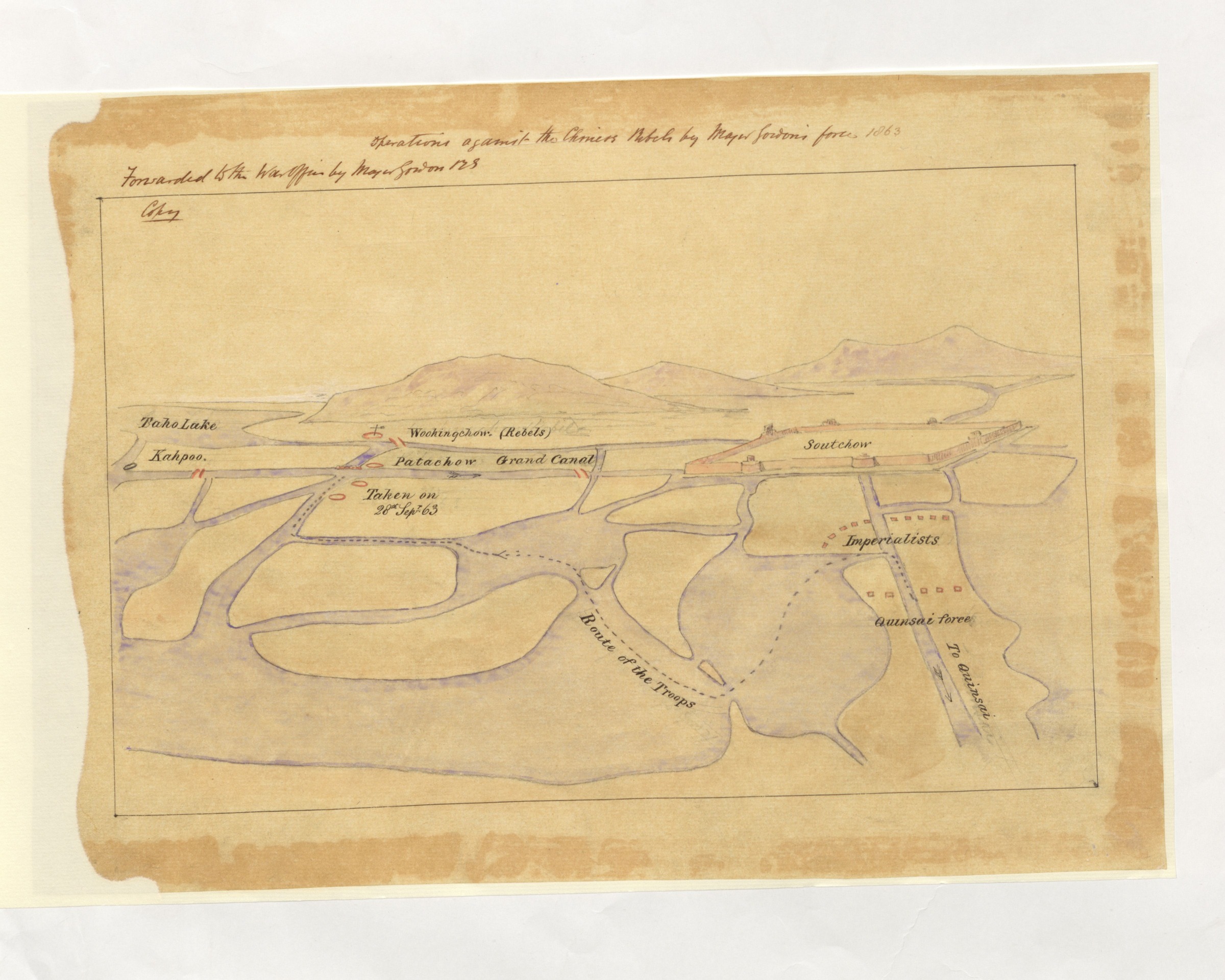
| 1888 | Operations against the Chinese rebels by Major Gordon's force | 1863 | | Suzhou |
|
| 1889 | Rough sketch of the area between Quinsan and Sowchow | 1863 | | Kunshan Suzhou |
|
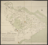
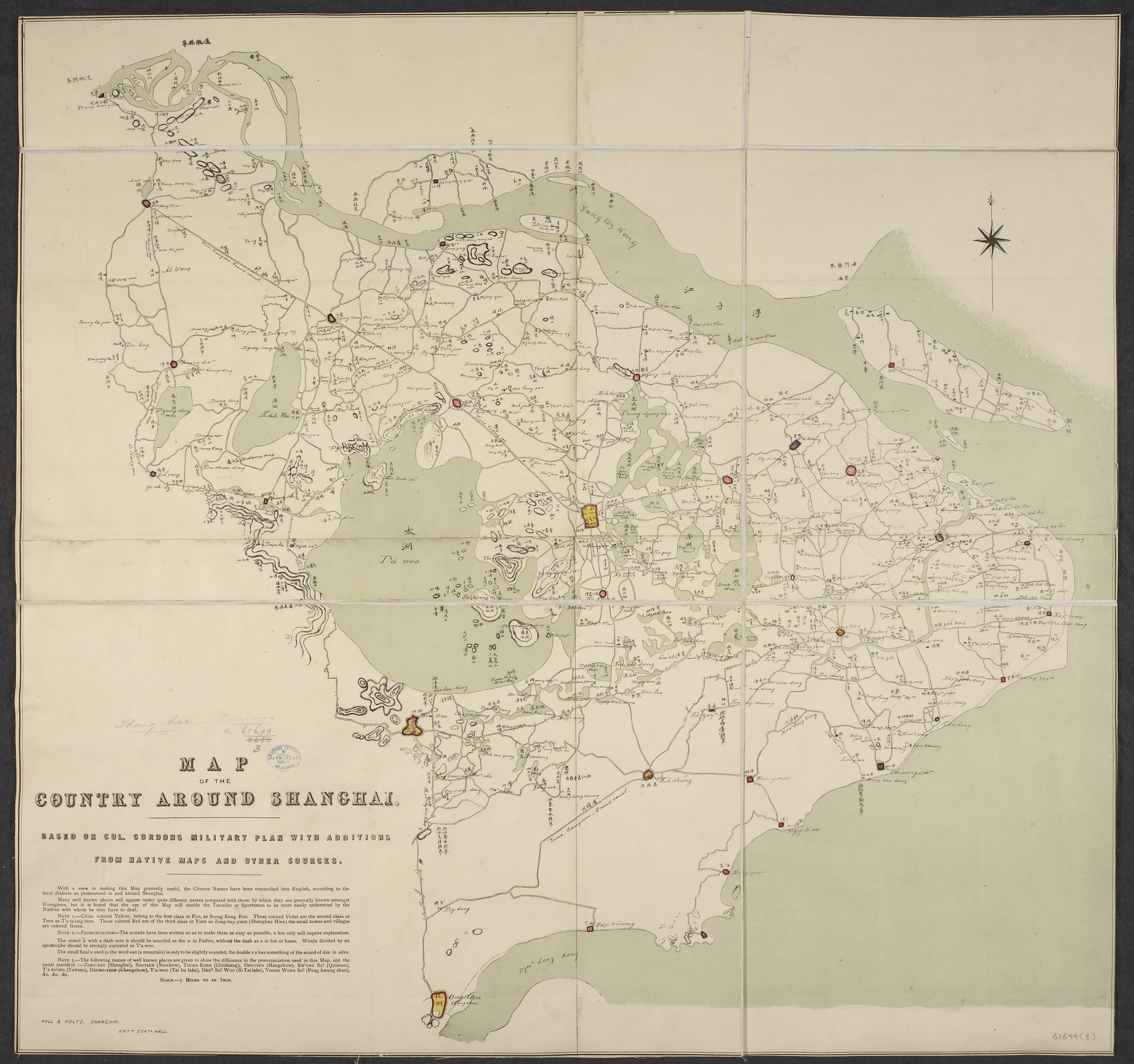
| 571 | Map of the country around Shanghai | 1864 | | Map of the country around Shanghai |
|
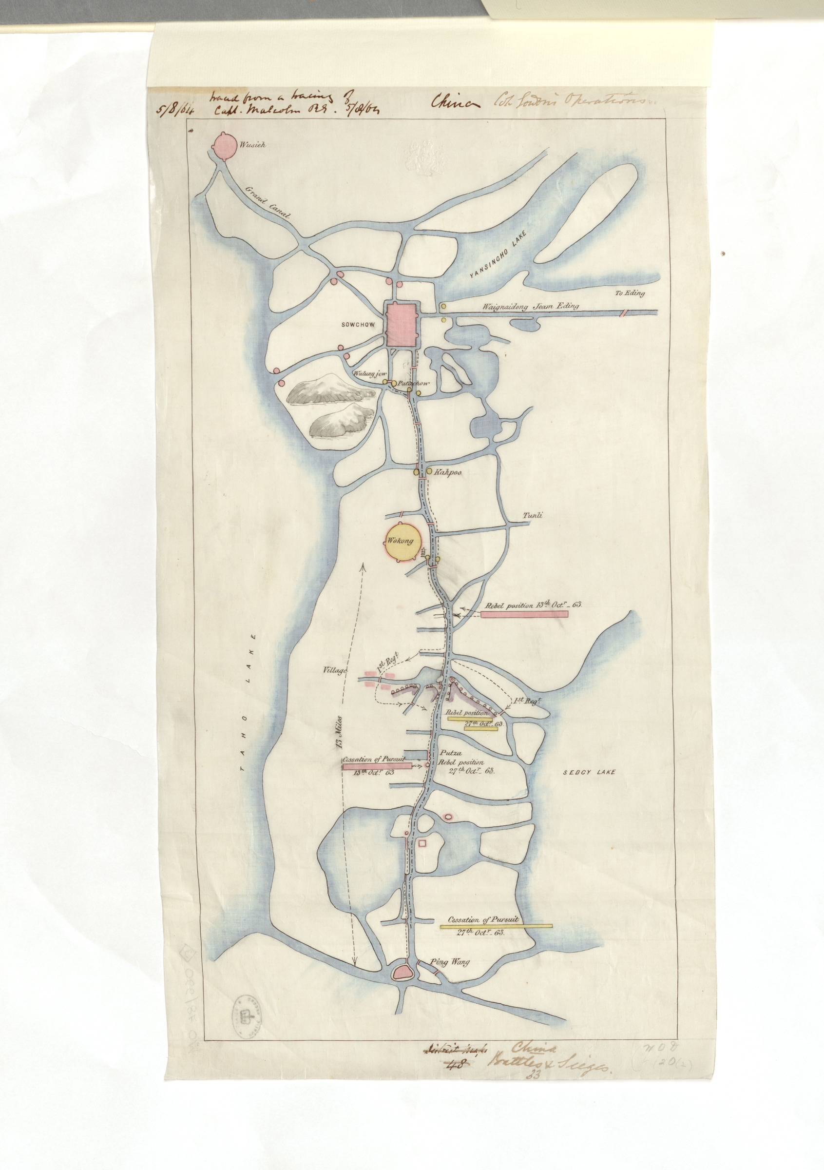
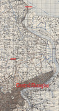
| 1883 | China Battles and Sieges - Suzhou region | 1864 | | |
|
| 721 | Military map of the country around Shanghai from surveys made in 1862-65 | 1865 | | Military map of the country around Shanghai from surveys made in 1862-65 |
|


 12345678910