| Document ID   | Original title   | Year   | Year range   | Transliteration   |
|---|
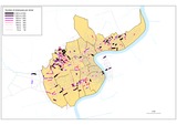
| 1751 | "Industrial streets" in 1947 | 2012 | | |
|
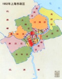
| 670 | 1952年上海市政區 | 1952 | | Yijiuwuer nian shanghai shizheng qu |
|
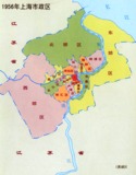
| 671 | 1956年上海市政區 | 1956 | | Yijiuwuliu nian shanghai shizheng qu |
|
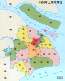
| 672 | 1958年上海市政區 | 1958 | | Yijiuwuba nian shanghai shizheng qu |
|
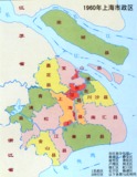
| 673 | 1960年上海市政區 | 1960 | | Yijiuliuling nian shanghai shizheng qu |
|

| 674 | 1966年上海市政區 | 1966 | | Yijiuliuliu nian shanghai shizheng qu |
|
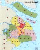
| 675 | 1981年上海市政區 | 1981 | | Yijiubayi nian shanghai shizheng qu |
|

| 1867 | A complete tourist map for sightseeing in Shanghai | | 2000-2009 | |
|
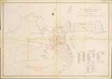
| 342 | A map of the foreign settlements at Shanghai | 1900 | | |
|
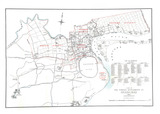
| 1824 | A map of the foreign settlements at Shanghai | 1904 | | |
|
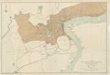
| 1878 | A map of the foreign settlements at Shanghai | 1914 | | |
|
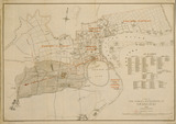
| 135 | A map of the foreign settlements at Shanghai. | 1904 | | |
|
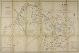
| 575 | A map of the shooting districts lying between Shanghai and Wuhu | 1893 | | A map of the shooting districts lying between Shanghai and Wuhu |
|
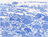
| 356 | A view of the walled city of Shanghai (Ming period) | | | |
|
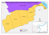
| 398 | Administrative and police districts in the French Concession (1914-1943) | 2008 | | Administrative and police districts in the French Concession (1914-1943) |
|
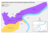
| 399 | Administrative districts in the International Settlement (1899-1943) | 2008 | | Administrative districts in the International Settlement (1899-1943) |
|
| 199 | Aerial view of Shanghai in 1939 (no original title) | 1939 | | |
|

| 440 | Approximate land value zones | 2008 | | Approximate land value zones |
|
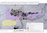
| 294 | Bombed and Destroyed Areas in August-October 1937 | 2006 | 2006 - 2014 | Bombed and Destroyed Areas in August-October 1937 |
|
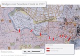
| 295 | Bridges over Soochow Creek in 1937 | 2006 | | Bridges over Soochow Creek in 1937 |
|

| 351 | Buildings of the Bund, 1849-50 | 2007 | | Buildings of the Bund, 1849-50 |
|
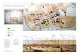
| 352 | Buildings of the Bund, 1857 | 2007 | | Buildings of the Bund, 1857 |
|
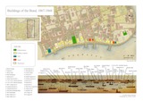
| 353 | Buildings of the Bund, 1867-68 | 2007 | | Buildings of the Bund, 1867-68 |
|

| 354 | Buildings of the Bund, 1907 | 2007 | | Buildings of the Bund, 1907 |
|
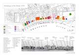
| 355 | Buildings of the Bund, 1939 | 2007 | | Buildings of the Bund, 1939 |
|
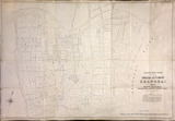
| 62 | Cadastral plan of the English settlement, Shanghai 1890 | 1890 | | |
|

| 1747 | Capital value of industrial concerns in 1947 | 2012 | | |
|
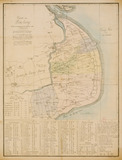
| 137 | Carte de Pou-tong destinée à accompagner les relations des missionaires | 1886 | | |
|

| 1665 | Carte de Shanghai (cité indigène et concessions) | 1877 | | |
|
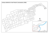
| 395 | Census districts in the French Concession (1935) | 2008 | | Census districts in the French Concession (1935) |
|
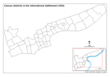
| 397 | Census districts in the International Settlement (1930) | 2008 | | Census districts in the International Settlement (1930) |
|
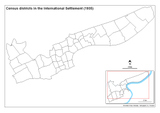
| 396 | Census districts in the International Settlement (1935) | 2008 | | Census districts in the International Settlement (1935) |
|
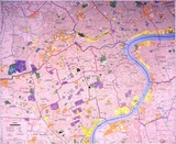
| 316 | Central Shanghai | 1983 | | Central Shanghai |
|
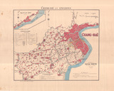
| 333 | Chang-hai et environs | 1902 | | |
|
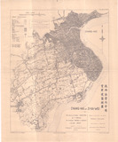
| 335 | Chang-hai et Zi-Ka-Wei [Shanghai et Zicawei] | 1901 | | |
|
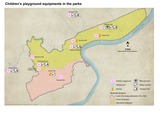
| 562 | Children's Playground Equipments in the Parks | 2008 | | Children's Playground Equipments in the Parks |
|
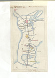
| 1883 | China Battles and Sieges - Suzhou region | 1864 | | |
|

| 31 | China East coast: City of Shanghai | 1944 | | |
|
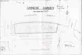
| 596 | Chinese Garden | | | |
|
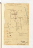
| 1893 | Cholin | 1862 | | |
|
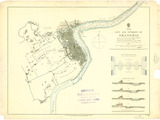
| 345 | City and Environs of Shanghai | 1862 | | |
|
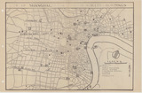
| 390 | City of Shanghai (China) - Major streets & buildings | 1944 | | City of Shanghai (China) - Major streets & buildings |
|
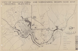
| 392 | City of Shanghai (China) and surrounding region - Base map - Industrial objectives | 1944 | | City of Shanghai (China) and surrounding region - Base map - Industrial objectives |
|
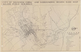
| 387 | City of Shanghai (China) and surrounding region - Base map - Major public buildings | 1944 | | City of Shanghai (China) and surrounding region - Base map - Major public buildings |
|
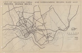
| 391 | City of Shanghai (China) and surrounding region - Base map - Principal highway routes | 1944 | | City of Shanghai (China) and surrounding region - Base map - Principal highway routes |
|
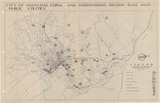
| 388 | City of Shanghai (China) and surrounding region - Base map - Public utilities | 1944 | | City of Shanghai (China) and surrounding region - Base map - Public utilities |
|
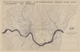
| 393 | City of Shanghai (China) and surrounding region - Base map - Topography and drainage | 1944 | | City of Shanghai (China) and surrounding region - Base map - Topography and drainage |
|
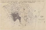
| 389 | City of Shanghai (China) and surrounding region - Base map - Urban built-up areas and military barracks | 1944 | | City of Shanghai (China) and surrounding region - Base map - Urban built-up areas and military barracks |
|
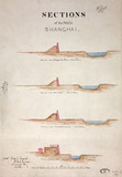
| 729 | City, Settlement and Environs of Shanghai | 1861 | | City, Settlement and Environs of Shanghai |
|

| 872 | Closing of factories in the International Settlement between 1935 and 1936 | 2011 | | Closing of factories and opening of new plants in the International Settlement between 1935 and 1936 |
|
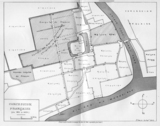
| 414 | Concession française (de 1851 à 1853) | 1853 | | Concession française (de 1851 à 1853) |
|
| 1842 | Concession française de Shanghai - Cadastre - Plans des sectios | 1902 | | |
|

| 1948 | Consular registration of land properties in the foreign settlements of Shanghai | | 1933-1934 | |
|
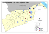
| 477 | Contagious diseases in the French Concession (1940) | 2008 | | Contagious diseases in the French Concession (1940) |
|
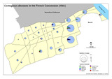
| 478 | Contagious diseases in the French Concession (1941) | 2008 | | Contagious diseases in the French Concession (1941) |
|
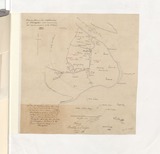
| 1886 | Copy of a plan of the neighborhood of Shanghai | 1862 | | |
|

| 470 | Da shanghai xin ditu | 1949 | | Da shanghai xin ditu |
|
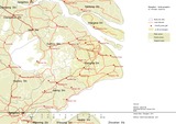
| 1691 | Delta du Yangzi, eau et axes routiers | 2011 | | |
|
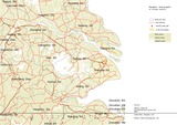
| 1690 | Delta du Yangzi. eau et axes routiers | 2011 | | |
|

| 297 | Destroyed Areas in August-October 1937 | 2006 | 2006 - 2014 | Destroyed Areas in August-October 1937 |
|


